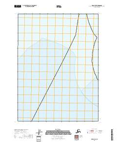
2018 Map of Craig D-7 SE
USGS Topo · Published 2018About this map
Iphigenia Bay dominates the landscape of this coastal Prince of Wales-Hyder Census Area survey. This maritime map focuses on the waters and the shoreline transitions within the Alexander Archipelago, showing the intersection of the sea with the legal divisions of the Public Land Survey System. The area is defined by the grid lines of t69s r73e, t69s r74e, and t70s r73e, which provide the essential spatial framework for this part of Southeast Alaska. Without the density of settlements or industrial infrastructure found inland, the map serves as a clear record of the coastline and maritime boundaries as they existed in the late 2010s. It is a vital document for those studying the nautical geography and township boundaries of this coastal region.
Find a feature on this map
4 named features on this map. Tap any name to fly to it.
Don’t see what you’re looking for? This feature index may not catch every label — zoom into the map to look around manually.
Map Details
Editions of this 2018 Craig D-7 SE Map
This is the sole edition of this map. No revisions or reprints were ever made.
Other maps of this area
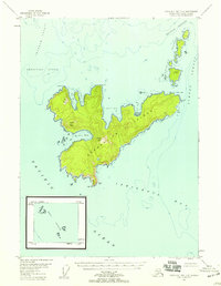
1948 · Craig D-7 and D-8
USGS Topo · 1:63,360

1951 · Craig C-6
USGS Topo · 1:63,360

1951 · Craig D-6
USGS Topo · 1:63,360

1957 · Craig
USGS Topo · 1:250,000
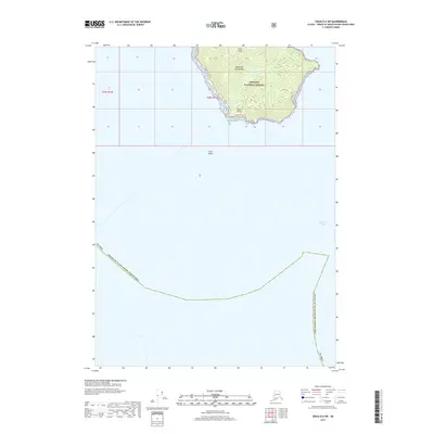
2017 · Craig D-6 SW
USGS Topo · 1:25,000
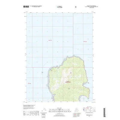
2017 · Craig D-6 NW
USGS Topo · 1:25,000
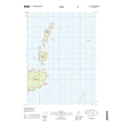
2018 · Craig D-7 NE
USGS Topo · 1:25,000
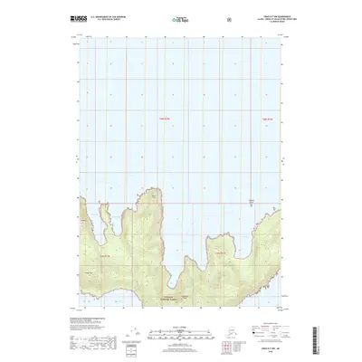
2018 · Craig D-7 NW
USGS Topo · 1:25,000
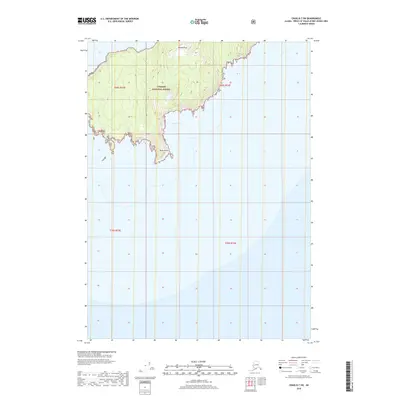
2018 · Craig D-7 SW
USGS Topo · 1:25,000
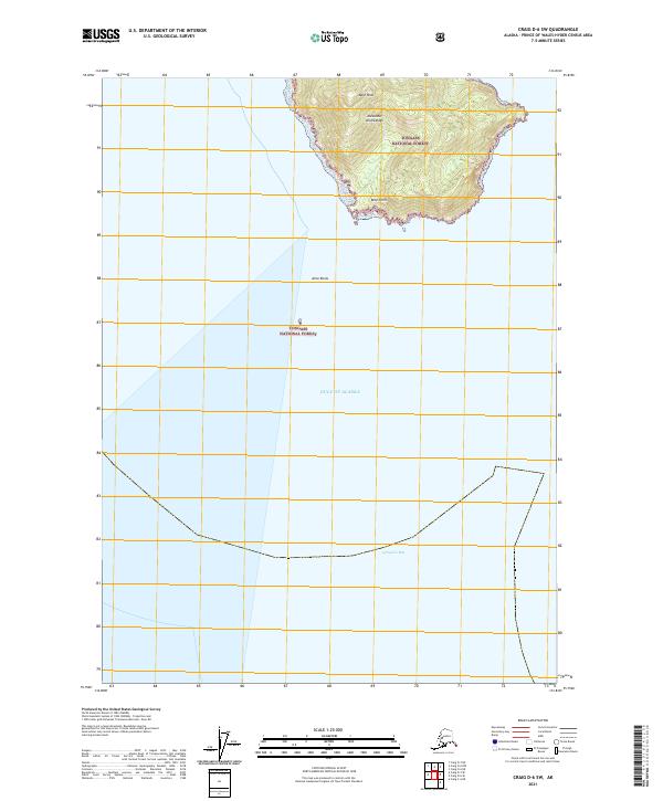
2021 · Craig D-6 SW
USGS Topo · 1:25,000