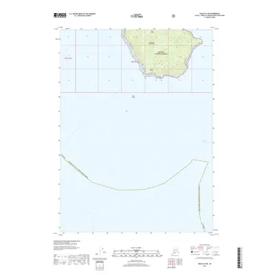
2017 Map of Craig D-6 SW
USGS Topo · Published 2017About this map
Alexander Archipelago islands rise from the cold waters of Iphigenia Bay in this 2017 survey of the Alaskan coast. The landscape is dominated by the protected timberlands of the Tongass National Forest, where steep maritime terrain culminates at Bald Peak. The shoreline is marked by distinct navigational landmarks such as Boot Point and the offshore hazard of Alice Rocks, illustrating the intersection of the temperate rainforest and the treacherous inner passages of the Prince of Wales-Hyder Census Area. This map captures the remote wilderness character of Southeast Alaska, showing the intricate boundary between land and sea without the footprint of modern settlement or roads.
Find a feature on this map
10 named features on this map. Tap any name to fly to it.
Don’t see what you’re looking for? This feature index may not catch every label — zoom into the map to look around manually.
Map Details
Editions of this 2017 Craig D-6 SW Map
This is the sole edition of this map. No revisions or reprints were ever made.
Other maps of this area

1951 · Craig C-6
USGS Topo · 1:63,360

1951 · Craig D-6
USGS Topo · 1:63,360

1957 · Craig
USGS Topo · 1:250,000
2017 · Craig D-6 NE
USGS Topo · 1:25,000
2017 · Craig D-6 SE
USGS Topo · 1:25,000
2017 · Craig D-6 NW
USGS Topo · 1:25,000
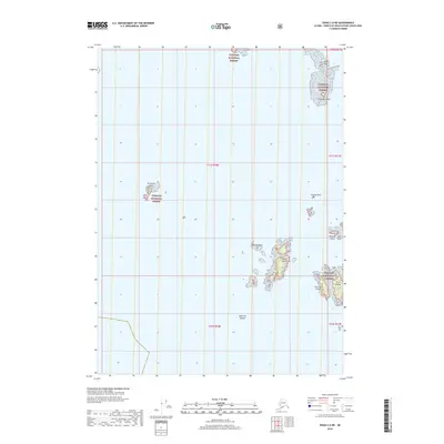
2018 · Craig C-6 NE
USGS Topo · 1:25,000
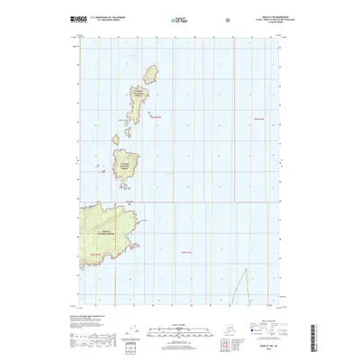
2018 · Craig D-7 NE
USGS Topo · 1:25,000
2018 · Craig D-7 SE
USGS Topo · 1:25,000
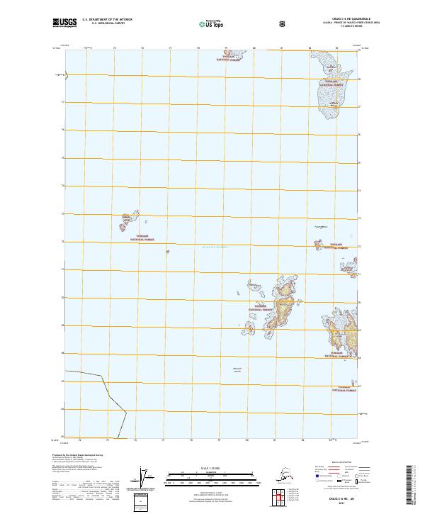
2021 · Craig C-6 NE
USGS Topo · 1:25,000