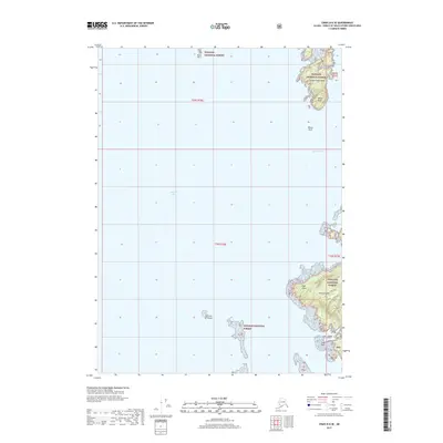
2017 Map of Craig D-6 SE
USGS Topo · Published 2017About this map
Whale Head Island and the northern reaches of Heceta Island dominate this coastal survey of the Prince of Wales-Hyder region. Situated within the Tongass National Forest, the landscape is defined by the intricate waterways of Iphigenia Bay and Davidson Inlet, where tidal features like Slide Reef and Black Rock present significant maritime landmarks. On the interior of the islands, short access routes such as Cone Lake and the Cone Lake Spur suggest localized activity near Cone Bay. The map provides a precise view of this remote archipelago, documenting the relationship between the elevated terrain at Whale Head and the surrounding coastline, including prominent points like Cape Lynch and smaller outcrops like Losa Island and Whale Rock.
Find a feature on this map
19 named features on this map. Tap any name to fly to it.
Don’t see what you’re looking for? This feature index may not catch every label — zoom into the map to look around manually.
Map Details
Editions of this 2017 Craig D-6 SE Map
This is the sole edition of this map. No revisions or reprints were ever made.
Other maps of this area

1951 · Craig C-6
USGS Topo · 1:63,360

1951 · Craig D-6
USGS Topo · 1:63,360

1951 · Craig C-5
USGS Topo · 1:63,360

1951 · Craig D-5
USGS Topo · 1:63,360

1957 · Craig
USGS Topo · 1:250,000
1996 · Craig D-5
USGS Topo · 1:63,360
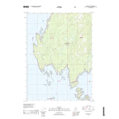
2017 · Craig D-6 NE
USGS Topo · 1:25,000
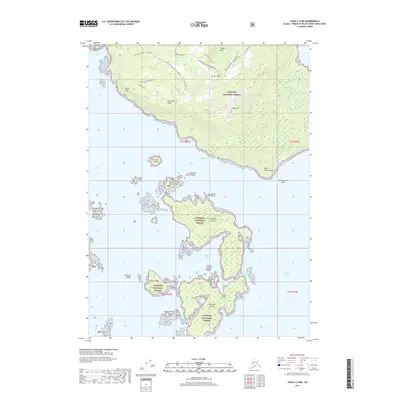
2017 · Craig C-5 NW
USGS Topo · 1:25,000
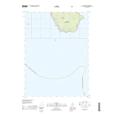
2017 · Craig D-6 SW
USGS Topo · 1:25,000
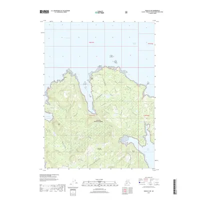
2017 · Craig D-5 SW
USGS Topo · 1:25,000