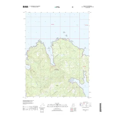
2017 Map of Craig D-5 SW
USGS Topo · Published 2017About this map
Port Alice sits on the western edge of Heceta Island, serving as a primary point of entry for the dense terrain of the Tongass National Forest. This 2017 survey reveals an intricate network of forest service and logging roads, such as Dead Tree 1430310 Road and the Warm Chuck 1425000 Road, which underscore the region's managed timber landscape. The coastal environment is defined by deep inlets and sheltered sounds, including Davidson Inlet and Sea Otter Sound, which isolate the rugged interior from the open waters of the Alexander Archipelago. Prominent landmarks like Cone Peak and Bald Mountain rise above a series of freshwater bodies, including Butterball Lake and Mint Lake, illustrating the complex hydrology of the island before these waters reach the coastal reaches of Cone Bay and Warm Chuck Inlet.
Find a feature on this map
47 named features on this map. Tap any name to fly to it.
Don’t see what you’re looking for? This feature index may not catch every label — zoom into the map to look around manually.
Map Details
Editions of this 2017 Craig D-5 SW Map
This is the sole edition of this map. No revisions or reprints were ever made.
Other maps of this area

1951 · Craig C-6
USGS Topo · 1:63,360

1951 · Craig D-6
USGS Topo · 1:63,360

1951 · Craig C-5
USGS Topo · 1:63,360

1951 · Craig D-5
USGS Topo · 1:63,360

1957 · Craig
USGS Topo · 1:250,000
1996 · Craig D-5
USGS Topo · 1:63,360
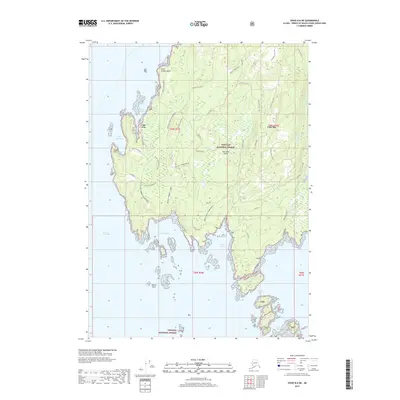
2017 · Craig D-6 NE
USGS Topo · 1:25,000
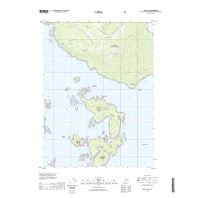
2017 · Craig C-5 NW
USGS Topo · 1:25,000
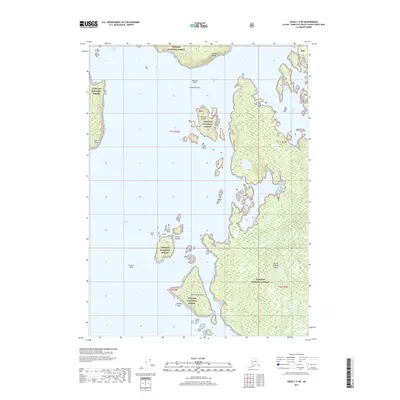
2017 · Craig C-5 NE
USGS Topo · 1:25,000
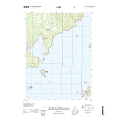
2017 · Craig D-5 NW
USGS Topo · 1:25,000