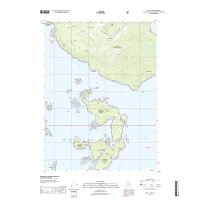
2017 Map of Craig C-5 NW
USGS Topo · Published 2017About this map
Heceta Island and the neighboring Maurelle Islands dominate this 2017 maritime survey within the Tongass National Forest. The landscape is defined by its complex shoreline, where the Bocas De Finas and the Gulf of Esquibel meet a series of rugged landforms including Timber Knob and the prominent Bald Mtn. A network of forest service roads, such as the Bald Mountain 1425000 Road and the White Cliff spur, provide rare overland access through this dense coastal terrain.
Find a feature on this map
39 named features on this map. Tap any name to fly to it.
Don’t see what you’re looking for? This feature index may not catch every label — zoom into the map to look around manually.
Map Details
Editions of this 2017 Craig C-5 NW Map
This is the sole edition of this map. No revisions or reprints were ever made.
Other maps of this area

1951 · Craig C-6
USGS Topo · 1:63,360

1951 · Craig D-6
USGS Topo · 1:63,360

1951 · Craig C-5
USGS Topo · 1:63,360

1951 · Craig D-5
USGS Topo · 1:63,360

1957 · Craig
USGS Topo · 1:250,000
1996 · Craig D-5
USGS Topo · 1:63,360
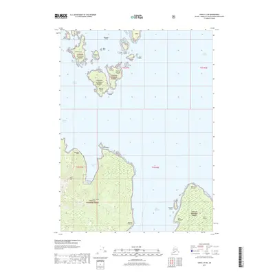
2017 · Craig C-5 SW
USGS Topo · 1:25,000
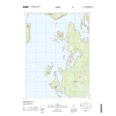
2017 · Craig C-5 NE
USGS Topo · 1:25,000
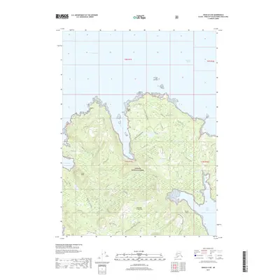
2017 · Craig D-5 SW
USGS Topo · 1:25,000
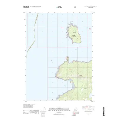
2017 · Craig C-6 SE
USGS Topo · 1:25,000