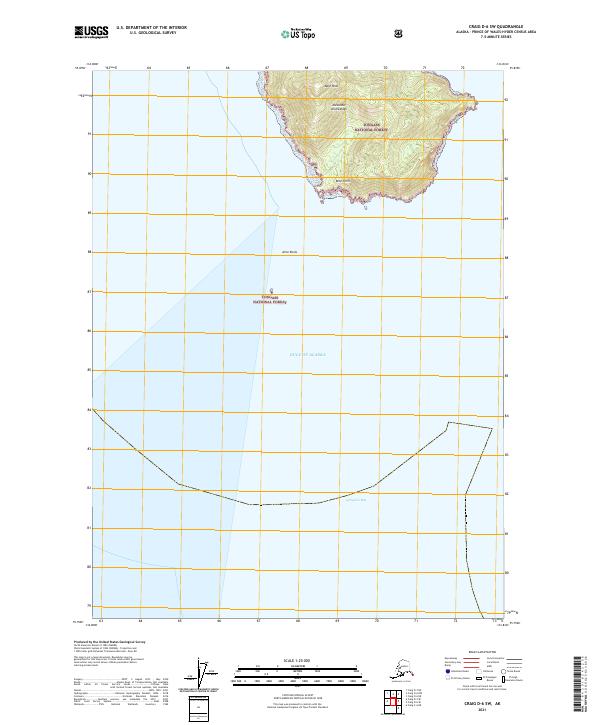
2021 Map of Craig D-6 SW
USGS Topo · Published 2021About this map
Bald Peak dominates the northern corner of this island landscape, marking a prominent high point within the Alexander Archipelago. Located along the coast of the Tongass National Forest, the terrain is defined by its maritime interface with the Gulf of Alaska. The map reveals a jagged coastline where the land terminates at Boot Point, surrounded by the open waters of Iphigenia Bay. Nautical hazards such as Alice Rocks emphasize the treacherous nature of these coastal waters for maritime navigation in the Prince of Wales-Hyder Census Area. This survey provides a precise look at the uninhabited, mountainous topography of the Alaskan panhandle, where the forest meets the sea at the edge of the continental shelf.
Find a feature on this map
9 named features on this map. Tap any name to fly to it.
Don’t see what you’re looking for? This feature index may not catch every label — zoom into the map to look around manually.
Map Details
Editions of this 2021 Craig D-6 SW Map
This is the sole edition of this map. No revisions or reprints were ever made.
Other maps of this area

1951 · Craig C-6
USGS Topo · 1:63,360

1951 · Craig D-6
USGS Topo · 1:63,360

1957 · Craig
USGS Topo · 1:250,000
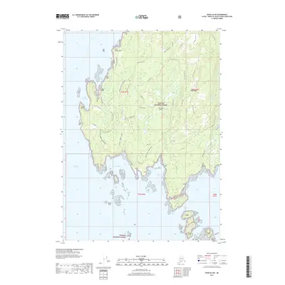
2017 · Craig D-6 NE
USGS Topo · 1:25,000
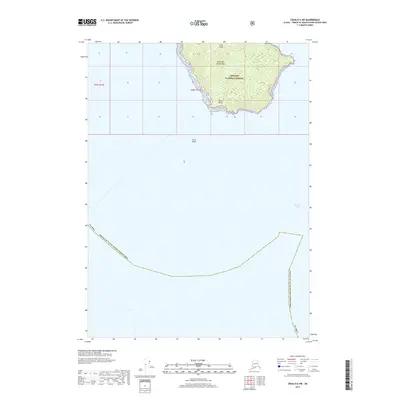
2017 · Craig D-6 SW
USGS Topo · 1:25,000
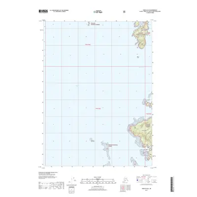
2017 · Craig D-6 SE
USGS Topo · 1:25,000
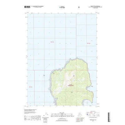
2017 · Craig D-6 NW
USGS Topo · 1:25,000
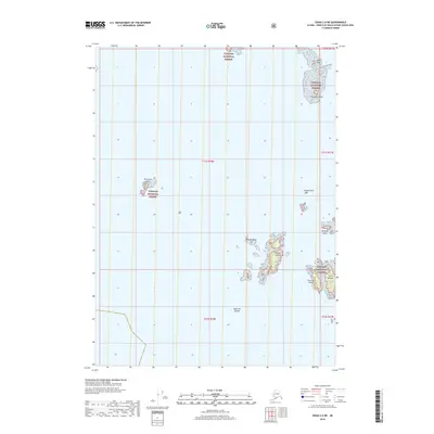
2018 · Craig C-6 NE
USGS Topo · 1:25,000
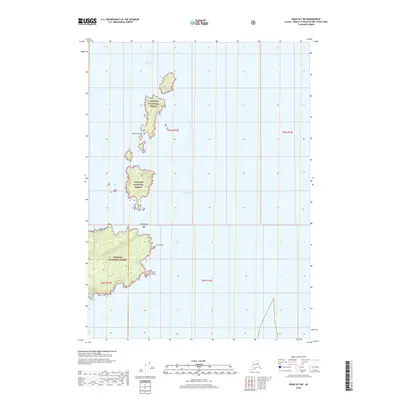
2018 · Craig D-7 NE
USGS Topo · 1:25,000
2018 · Craig D-7 SE
USGS Topo · 1:25,000