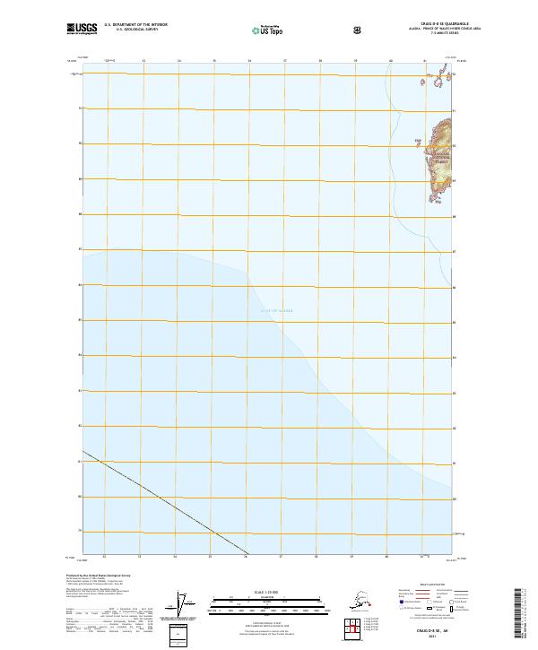
2021 Map of Craig D-8 SE
USGS Topo · Published 2021About this map
The Gulf of Alaska dominates this maritime survey, where the open ocean meets the fractured coastline of the Alexander Archipelago. A narrow strip of land along the eastern edge reveals the coastal extent of the Tongass National Forest, noted by its shorthand TNF markers. The map illustrates the sheer isolation of this maritime environment in the early 21st century, defined by the transition from deep water to the rocky, forested shores of the Prince of Wales-Hyder Census Area. The lack of infrastructure or settlements highlights the protected wilderness character of the region, where the primary features are the natural boundaries between the vast gulf and the national forest system.
Find a feature on this map
6 named features on this map. Tap any name to fly to it.
Don’t see what you’re looking for? This feature index may not catch every label — zoom into the map to look around manually.
Map Details
Editions of this 2021 Craig D-8 SE Map
This is the sole edition of this map. No revisions or reprints were ever made.
Other maps of this area
1948 · Craig D-7 and D-8
USGS Topo · 1:63,360

1957 · Craig
USGS Topo · 1:250,000
2018 · Craig D-8 SW
USGS Topo · 1:25,000
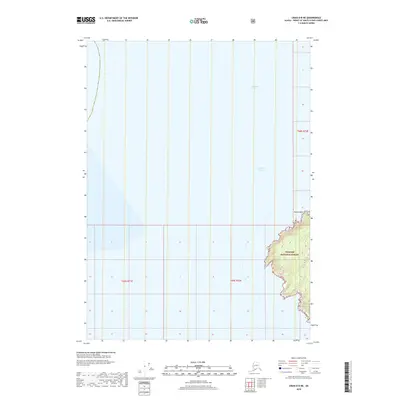
2018 · Craig D-8 NE
USGS Topo · 1:25,000
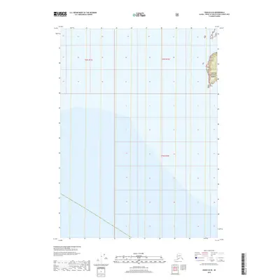
2018 · Craig D-8 SE
USGS Topo · 1:25,000
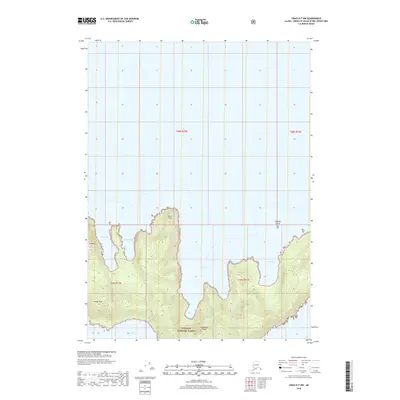
2018 · Craig D-7 NW
USGS Topo · 1:25,000
2018 · Craig D-8 NW
USGS Topo · 1:25,000
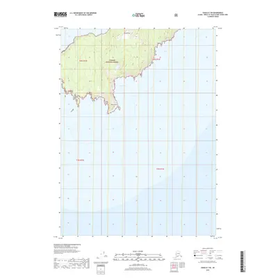
2018 · Craig D-7 SW
USGS Topo · 1:25,000
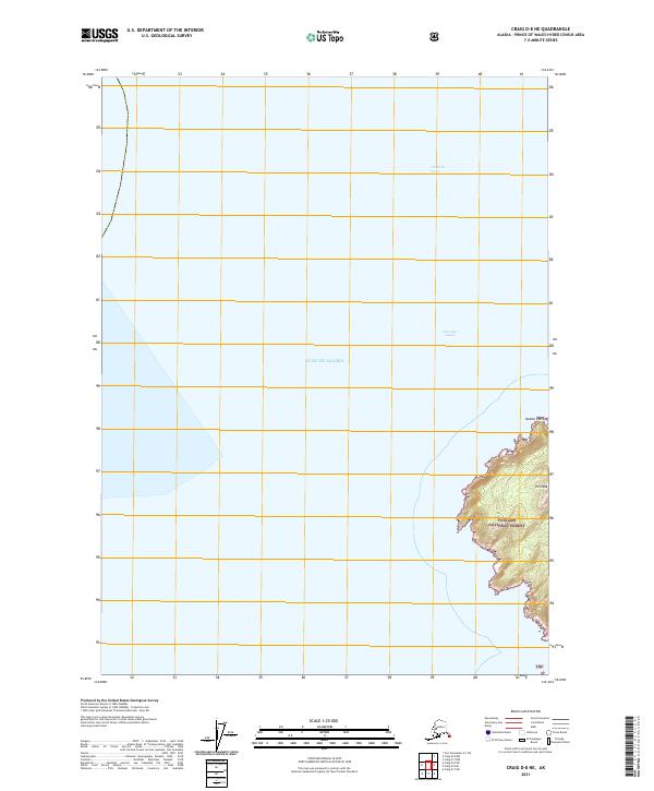
2021 · Craig D-8 NE
USGS Topo · 1:25,000
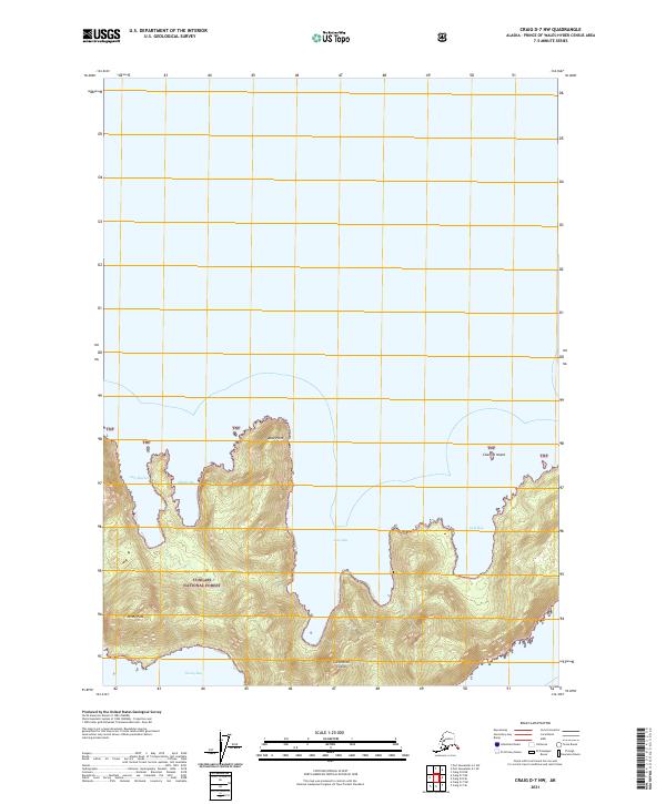
2021 · Craig D-7 NW
USGS Topo · 1:25,000