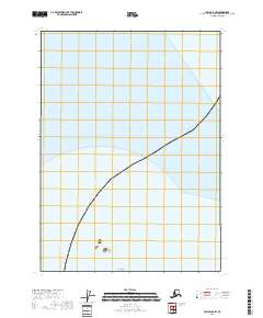
2018 Map of Craig D-8 NW
USGS Topo · Published 2018About this map
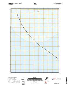
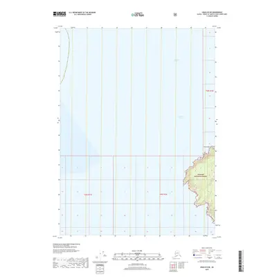
The Hazy Islands emerge from the vast maritime expanses of the Prince of Wales-Hyder Census Area in this 2018 coastal study. This specific region of the Craig D-8 NW quadrangle is defined by its isolation, highlighting the small outcrops that comprise the Big Hazy Islet group. The map primarily records the hydrographic boundaries and the Public Land Survey System designations, such as t69s r70e and t69s r71e, which are essential for navigating the maritime and wilderness administrative boundaries of Southeast Alaska. This artifact is particularly valuable for researchers tracking the preservation of offshore island chains and the precision of modern maritime surveying.
Find a feature on this map
4 named features on this map. Tap any name to fly to it.
Don’t see what you’re looking for? This feature index may not catch every label — zoom into the map to look around manually.
Map Details
Editions of this 2018 Craig D-8 NW Map
This is the sole edition of this map. No revisions or reprints were ever made.
Other maps of this area

1948 · Port Alexander A-2
USGS Topo · 1:63,360
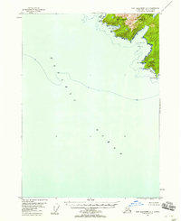
1948 · Port Alexander A-3
USGS Topo · 1:63,360

1951 · Port Alexander
USGS Topo · 1:250,000
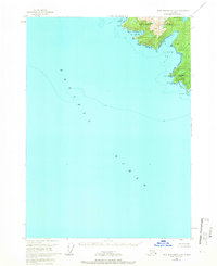
1951 · Port Alexander A-3
USGS Topo · 1:63,360
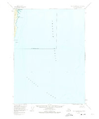
1951 · Port Alexander A-2
USGS Topo · 1:63,360

1952 · Port Alexander
USGS Topo · 1:250,000

1957 · Craig
USGS Topo · 1:250,000

1964 · Port Alexander
USGS Topo · 1:250,000
2018 · Craig D-8 SW
USGS Topo · 1:25,000
2018 · Craig D-8 NE
USGS Topo · 1:25,000