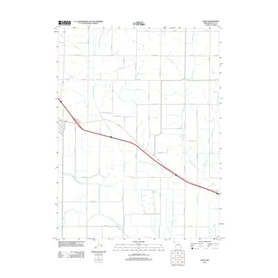
2012 Map of Craig
USGS Topo · Published 2012About this map
The settlement of Craig anchors the western edge of this Holt County landscape, situated where the Missouri bottomlands meet a complex network of modified waterways. The geography is defined by the remnants of hydrological engineering, most notably the Old Channel Tarkio River and the Old Channel Little Tarkio Creek. These features illustrate the historical efforts to manage drainage and flooding in this agricultural corridor. Beyond the town, a grid of rural routes such as Lonesome Rd and Dauber Rd provides access to the surrounding fields. The eastern portion of the survey is drained by Wildcat Creek and Squaw Creek, while the modern course of Little Tarkio Creek meanders through the central section, highlighting the persistent importance of water management to the local economy.
Find a feature on this map
53 named features on this map. Tap any name to fly to it.
Don’t see what you’re looking for? This feature index may not catch every label — zoom into the map to look around manually.
Map Details
Editions of this 2012 Craig Map
This is the sole edition of this map. No revisions or reprints were ever made.
Other maps of this area

1920 · Craig
USGS Topo · 1:62,500

1926 · Maitland
USGS Topo · 1:62,500

1936 · Fairfax
USGS Topo · 1:24,000

1939 · Tarkio
USGS Topo · 1:62,500

1939 · Skidmore
USGS Topo · 1:62,500

1940 · Tarkio
USGS Topo · 1:62,500

1941 · Tarkio
USGS Topo · 1:62,500

1941 · Skidmore
USGS Topo · 1:62,500

1942 · Skidmore
USGS Topo · 1:62,500

1955 · Nebraska City
USGS Topo · 1:250,000