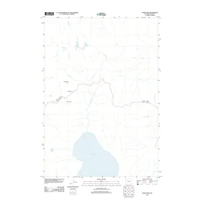
2012 Map of Craig Pass
USGS Topo · Published 2012About this map
Shoshone Lake anchors the southern portion of this high-elevation landscape, where the waters of the Continental Divide begin their long journeys through the hydrologic network. The terrain is defined by critical transit points including Craig Pass and Norris Pass, which have historically facilitated movement across this high-country divide. The hydrography is particularly dense here, with numerous alpine drainages such as De Lacy Cr, Herron Cr, and Spring Cr feeding into larger basins.
Find a feature on this map
14 named features on this map. Tap any name to fly to it.
Don’t see what you’re looking for? This feature index may not catch every label — zoom into the map to look around manually.
Map Details
Editions of this 2012 Craig Pass Map
This is the sole edition of this map. No revisions or reprints were ever made.
Other maps of this area

1885 · Gallatin
USGS Topo · 1:125,000

1885 · Gallatin
USGS Topo · 1:125,000

1886 · Shoshone
USGS Topo · 1:125,000

1888 · Shoshone
USGS Topo · 1:125,000

1895 · Shoshone
USGS Topo · 1:125,000

1901 · Shoshone
USGS Topo · 1:125,000

1901 · Gallatin
USGS Topo · 1:125,000

1908 · Gallatin
USGS Topo · 1:125,000

1908 · Shoshone
USGS Topo · 1:125,000

1911 · Shoshone
USGS Topo · 1:125,000