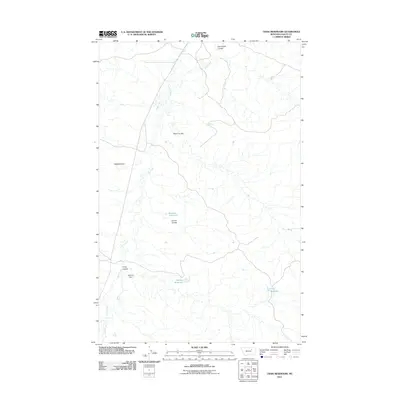
2011 Map of Craig Reservoir
USGS Topo · Published 2011About this map
Larb Creek meanders through this portion of Valley County, defining a landscape shaped by intermittent water sources and ranching infrastructure. The map highlights several critical water management features in this arid environment, most notably McCuin Dam and its associated McCuin Reservoir. These man-made structures, along with the Craig Reservoir and Korman Reservoir, indicate the historical importance of water catchment for livestock and agriculture in the Montana plains.
Find a feature on this map
12 named features on this map. Tap any name to fly to it.
Don’t see what you’re looking for? This feature index may not catch every label — zoom into the map to look around manually.
Map Details
Editions of this 2011 Craig Reservoir Map
This is the sole edition of this map. No revisions or reprints were ever made.
Other maps of this area

1954 · Jordan
USGS Topo · 1:250,000

1954 · Glasgow
USGS Topo · 1:250,000

1956 · Jordan
USGS Topo · 1:250,000

1957 · Glasgow
USGS Topo · 1:250,000

1958 · Glasgow
USGS Topo · 1:250,000

1958 · Jordan
USGS Topo · 1:250,000

1964 · Jordan
USGS Topo · 1:250,000

1973 · Triple Crossing Reservoir West
USGS Topo · 1:24,000

1973 · Niles Coulee
USGS Topo · 1:24,000
1973 · White Horse Coulee
USGS Topo · 1:24,000