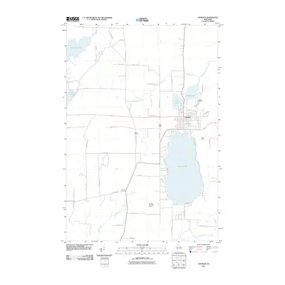
2010 Map of Crandon
USGS Topo · Published 2010About this map
Crandon serves as the focal point of this Forest County landscape, situated between the sizable waters of Metonga Lake and Peshtigo Lake. The town's layout reflects a classic Northwoods community, where residential streets give way to the surrounding glacial topography, including West Hill and East Hill. To the west, the Wolf River winds through a network of wetlands and smaller bodies of water like Little Rice Lake and Whiteye Lake, illustrating the complex drainage patterns of the region.
Find a feature on this map
53 named features on this map. Tap any name to fly to it.
Don’t see what you’re looking for? This feature index may not catch every label — zoom into the map to look around manually.
Map Details
Editions of this 2010 Crandon Map
This is the sole edition of this map. No revisions or reprints were ever made.
Other maps of this area

1939 · Crandon
USGS Topo · 1:48,000

1940 · Monico
USGS Topo · 1:48,000

1941 · Crandon
USGS Topo · 1:48,000

1942 · Elcho
USGS Topo · 1:48,000

1942 · Pearson
USGS Topo · 1:48,000

1947 · Crandon
USGS Topo · 1:48,000

1950 · Monico
USGS Topo · 1:48,000

1950 · Elcho
USGS Topo · 1:48,000

1950 · Lily
USGS Topo · 1:48,000

1954 · Iron Mountain
USGS Topo · 1:250,000