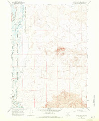
1960 Map of Crane
USGS Topo · Published 1977About this map
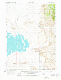
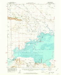
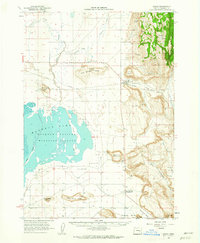
Malheur Lake and the surrounding marshlands of the Malheur National Wildlife Refuge dominate this high-desert basin in the early 1960s. The settlement of Crane serves as a local hub, situated where the Union Pacific railroad passes near the base of Crane Butte. The map details a landscape defined by volcanic landforms like Warm Springs Butte and Black Butte, alongside critical water features such as Ninemile Slough and various Hot Springs. To the south, New Princeton and its local airstrip mark a secondary point of activity. The geography reveals the importance of the Malheur Gap and Crane Creek Gap for transit through the rimrock and ridges that partition the Harney Basin floor from the rising heights of the Willow Basin.
Find a feature on this map
35 named features on this map. Tap any name to fly to it.
Don’t see what you’re looking for? This feature index may not catch every label — zoom into the map to look around manually.
Map Details
Editions of this 1960 Crane Map
2 editions found
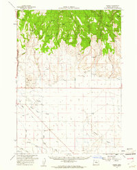
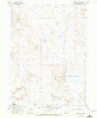
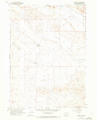
Other maps of this area

1955 · Burns
USGS Topo · 1:250,000

1958 · Burns
USGS Topo · 1:250,000

1959 · Burns
USGS Topo · 1:250,000
1959 · Harney
USGS Topo · 1:62,500
1959 · Lawen
USGS Topo · 1:62,500
1960 · Crane
USGS Topo · 1:62,500
1967 · Jackass Butte NE
USGS Topo · 1:24,000
1967 · Barton Lake
USGS Topo · 1:24,000
1967 · Adobe Flat
USGS Topo · 1:24,000
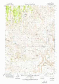
1968 · Venator
USGS Topo · 1:62,500