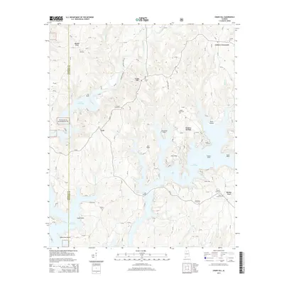
2014 Map of Crane Hill
USGS Topo · Published 2014About this map
The waters of Lewis Smith Lake dominate the southern half of this landscape, where complex inlets and fingers of water create a rugged shoreline at Muscadine Point, Pea Ridge, and Davis Ridge. This 2014 survey documents the enduring rural character of western Cullman County and eastern Winston County, centered on the historic crossroads of Crane Hill. The map is particularly rich for genealogical research, identifying numerous small community burying grounds such as Mt Hope Cem, Livingston Chapel Cem, and Sulphur Springs Cem that anchor the scattered settlements.
Find a feature on this map
132 named features on this map. Tap any name to fly to it.
Don’t see what you’re looking for? This feature index may not catch every label — zoom into the map to look around manually.
Map Details
Editions of this 2014 Crane Hill Map
This is the sole edition of this map. No revisions or reprints were ever made.
Other maps of this area

1888 · Cullman
USGS Topo · 1:125,000

1889 · Birmingham
USGS Topo · 1:125,000

1892 · Cullman
USGS Topo · 1:125,000

1892 · Birmingham
USGS Topo · 1:125,000

1893 · Jasper
USGS Topo · 1:125,000

1895 · Birmingham
USGS Topo · 1:125,000

1907 · Birmingham
USGS Topo · 1:125,000

1949 · Cold Springs
USGS Topo · 1:24,000

1949 · Sunlight
USGS Topo · 1:24,000

1951 · Cold Springs
USGS Topo · 1:24,000