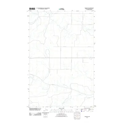
2011 Map of Crane NE
USGS Topo · Published 2011About this map
Fox Creek and its northern tributaries define the drainage patterns of this Richland County landscape during the early 2000s. The area is marked by a precise grid of county roads, reflecting the systematic land division of eastern Montana. Lone Tree Creek meanders across the northern half of the quadrangle, joined by the South Fork Lone Tree Creek near the western edge. Further south, the North Fork Fox Creek cuts through the terrain, illustrating the gradual descent toward larger river valleys beyond the map's borders. This topography is structured by a network of local routes including County Rd-124 and County Rd-344, which facilitate movement between rural homesteads and agricultural tracts in this high plains region.
Find a feature on this map
13 named features on this map. Tap any name to fly to it.
Don’t see what you’re looking for? This feature index may not catch every label — zoom into the map to look around manually.
Map Details
Editions of this 2011 Crane NE Map
This is the sole edition of this map. No revisions or reprints were ever made.
Other maps of this area

1909 · Glendive
USGS Topo · 1:250,000

1954 · Glendive
USGS Topo · 1:250,000

1957 · Glendive
USGS Topo · 1:250,000

1958 · Glendive
USGS Topo · 1:250,000

1966 · Crane NE
USGS Topo · 1:24,000

1966 · Crane NW
USGS Topo · 1:24,000

1966 · Piche
USGS Topo · 1:24,000

1966 · Crane
USGS Topo · 1:24,000

1966 · Sidney
USGS Topo · 1:24,000

1966 · Larson School
USGS Topo · 1:24,000