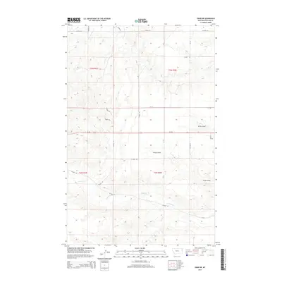
2014 Map of Crane NE
USGS Topo · Published 2014About this map
Fox Cr and its northern tributary, N Fork Fox Cr, define the southern drainage patterns of this Richland County landscape. The terrain is characterized by a series of significant coulees, including Youngs Coulee and Spring Coulee, which cut through the high plains. The northern portion of the map is marked by the headwaters of N Fork Lone Tree Cr and S Fork Lone Tree Cr, illustrating the complex watershed divide in this part of eastern Montana.
Find a feature on this map
24 named features on this map. Tap any name to fly to it.
Don’t see what you’re looking for? This feature index may not catch every label — zoom into the map to look around manually.
Map Details
Editions of this 2014 Crane NE Map
This is the sole edition of this map. No revisions or reprints were ever made.
Other maps of this area

1909 · Glendive
USGS Topo · 1:250,000

1954 · Glendive
USGS Topo · 1:250,000

1957 · Glendive
USGS Topo · 1:250,000

1958 · Glendive
USGS Topo · 1:250,000

1966 · Crane NE
USGS Topo · 1:24,000

1966 · Crane NW
USGS Topo · 1:24,000

1966 · Piche
USGS Topo · 1:24,000

1966 · Crane
USGS Topo · 1:24,000

1966 · Sidney
USGS Topo · 1:24,000

1966 · Larson School
USGS Topo · 1:24,000