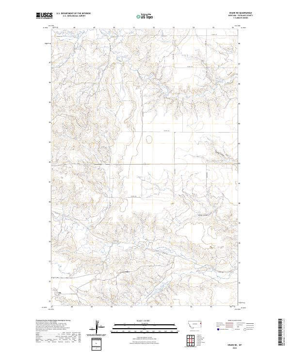
2024 Map of Crane NE
USGS Topo · Published 2024About this map
North Fork Fox Creek and Fox Creek carve a series of deep drainage networks through this high plains landscape in Richland County. The terrain is defined by a succession of coulees and creek beds, including Youngs Coulee and Spring Coulee, which dictate the local topography and the placement of the sparse rural road network. This modern survey illustrates how township boundaries like t23n r58e align with the Section-Township-Range system, cutting straight lines across a landscape otherwise shaped by the meandering paths of Lone Tree Creek and its South Fork. The map provides a clear look at the remote intersection of local routes such as Co RD 127 and Co RD 345, which serve the isolated homesteads and ranch lands characteristic of eastern Montana.
Find a feature on this map
20 named features on this map. Tap any name to fly to it.
Don’t see what you’re looking for? This feature index may not catch every label — zoom into the map to look around manually.
Map Details
Editions of this 2024 Crane NE Map
This is the sole edition of this map. No revisions or reprints were ever made.
Other maps of this area

1909 · Glendive
USGS Topo · 1:250,000

1954 · Glendive
USGS Topo · 1:250,000

1957 · Glendive
USGS Topo · 1:250,000

1958 · Glendive
USGS Topo · 1:250,000

1966 · Crane NE
USGS Topo · 1:24,000

1966 · Crane NW
USGS Topo · 1:24,000

1966 · Piche
USGS Topo · 1:24,000

1966 · Crane
USGS Topo · 1:24,000

1966 · Sidney
USGS Topo · 1:24,000

1966 · Larson School
USGS Topo · 1:24,000