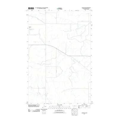
2011 Map of Crane NW
USGS Topo · Published 2011About this map
North Fork Fox Creek and Fox Creek carve through the agricultural landscape of Richland County in this 2011 survey. The drainage patterns of the South Fork Lone Tree Creek define the northern sections of the map, illustrating the high-plains hydrology typical of eastern Montana. Human modification of the landscape is most evident at the Prevost Reservoir Number 2, held by the Prevost Number 2 Dam in the northwest corner. A grid of section-line roads, including County Rd 336 and County Rd 127, provides the primary access across these prairie reaches, reflecting the enduring legacy of the Public Land Survey System on local transit and property boundaries.
Find a feature on this map
9 named features on this map. Tap any name to fly to it.
Don’t see what you’re looking for? This feature index may not catch every label — zoom into the map to look around manually.
Map Details
Editions of this 2011 Crane NW Map
This is the sole edition of this map. No revisions or reprints were ever made.
Other maps of this area

1909 · Glendive
USGS Topo · 1:250,000

1954 · Glendive
USGS Topo · 1:250,000

1957 · Glendive
USGS Topo · 1:250,000

1958 · Glendive
USGS Topo · 1:250,000

1966 · Crane NE
USGS Topo · 1:24,000

1966 · Crane NW
USGS Topo · 1:24,000

1966 · Crane
USGS Topo · 1:24,000

1966 · Larson School
USGS Topo · 1:24,000

1972 · Brorson
USGS Topo · 1:24,000

1972 · Girard
USGS Topo · 1:24,000