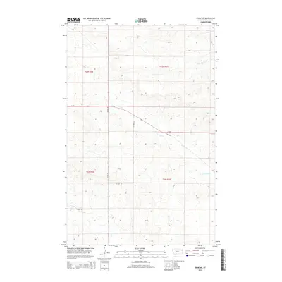
2014 Map of Crane NW
USGS Topo · Published 2014About this map
The rolling hills of eastern Montana are defined by the winding drainages of N Fork Fox Cr and S Fork Lone Tree Cr in this rural Richland County quadrangle. The landscape is marked by a clear rectangular grid of section lines and county roads, reflecting the systematic land division that shaped the state's homesteading and ranching history. Key transport corridors like Co Road 127 and Co Road 336 traverse the high ground between these drainages, connecting the remote reaches of t23n r56e and t23n r57e. The topography here reveals the complex erosion patterns of the Missouri River watershed, where seasonal streams like Fox Cr have carved distinct paths through the prairie, creating the foundational geography for local cattle operations and dryland farming.
Find a feature on this map
11 named features on this map. Tap any name to fly to it.
Don’t see what you’re looking for? This feature index may not catch every label — zoom into the map to look around manually.
Map Details
Editions of this 2014 Crane NW Map
This is the sole edition of this map. No revisions or reprints were ever made.
Other maps of this area

1909 · Glendive
USGS Topo · 1:250,000

1954 · Glendive
USGS Topo · 1:250,000

1957 · Glendive
USGS Topo · 1:250,000

1958 · Glendive
USGS Topo · 1:250,000

1966 · Crane NE
USGS Topo · 1:24,000

1966 · Crane NW
USGS Topo · 1:24,000

1966 · Crane
USGS Topo · 1:24,000

1966 · Larson School
USGS Topo · 1:24,000

1972 · Brorson
USGS Topo · 1:24,000

1972 · Girard
USGS Topo · 1:24,000