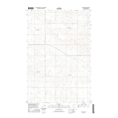
2017 Map of Crane NW
USGS Topo · Published 2017About this map
Richland County's high plains are defined by a network of seasonal drainages and local section roads in this contemporary survey of the Montana-North Dakota borderlands. The terrain is marked by the winding courses of N Fork Fox Cr and Fox Cr in the south, while the northern reaches are carved by the headwaters of S Fork Lone-Tree Cr. This landscape reflects the systematic grid of the Public Land Survey System, with the boundaries of t23n r56e, t23n r57e, t22n r56e, and t22n r57e providing the primary framework for land ownership. Connectivity across this agricultural expanse is maintained by a series of county routes, including Co RD 336, Co RD 127, and Co RD 120, which follow the section lines and topography typical of the eastern Montana prairie.
Find a feature on this map
10 named features on this map. Tap any name to fly to it.
Don’t see what you’re looking for? This feature index may not catch every label — zoom into the map to look around manually.
Map Details
Editions of this 2017 Crane NW Map
This is the sole edition of this map. No revisions or reprints were ever made.
Other maps of this area

1909 · Glendive
USGS Topo · 1:250,000

1954 · Glendive
USGS Topo · 1:250,000

1957 · Glendive
USGS Topo · 1:250,000

1958 · Glendive
USGS Topo · 1:250,000

1966 · Crane NE
USGS Topo · 1:24,000

1966 · Crane NW
USGS Topo · 1:24,000

1966 · Crane
USGS Topo · 1:24,000

1966 · Larson School
USGS Topo · 1:24,000

1972 · Brorson
USGS Topo · 1:24,000

1972 · Girard
USGS Topo · 1:24,000