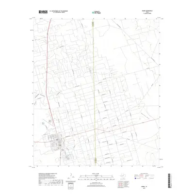
2019 Map of Crane
USGS Topo · Published 2019About this map
Crane serves as the focal point of this Permian Basin landscape, where the town's grid meets a sprawling network of energy infrastructure. The map reveals a dense, systematic grid of access roads such as Chevron Ave A through Chevron Ave Q and Chevron Rd 7, illustrating the intensive land use required for oil and gas extraction across the Upton and Crane county line. Beyond the industrial corridors, the terrain is shaped by ephemeral watercourses like Mayfield Draw and Landreth Draw, which cut through the arid plains. Local civic life is represented by Crane Memorial Gardens and the Crane County Airport, while the legacy of West Texas ranching persists through routes like McElroy Ranch Rd. This 2019 survey captures the unique intersection of traditional ranching geography and modern petroleum development.
Find a feature on this map
79 named features on this map. Tap any name to fly to it.
Don’t see what you’re looking for? This feature index may not catch every label — zoom into the map to look around manually.
Map Details
Editions of this 2019 Crane Map
This is the sole edition of this map. No revisions or reprints were ever made.
Other maps of this area

1928 · Crane
USGS Topo · 1:125,000

1954 · Pecos
USGS Topo · 1:250,000

1957 · Pecos
USGS Topo · 1:250,000

1964 · Doodle Bug Well
USGS Topo · 1:24,000

1964 · Perkins Lake
USGS Topo · 1:24,000

1968 · Benge Corner SW
USGS Topo · 1:24,000

1971 · McElroy Ranch
USGS Topo · 1:24,000

1971 · Marlboro Canyon
USGS Topo · 1:24,000

1974 · Crane SW
USGS Topo · 1:24,000
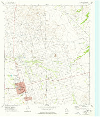
1974 · Crane
USGS Topo · 1:24,000