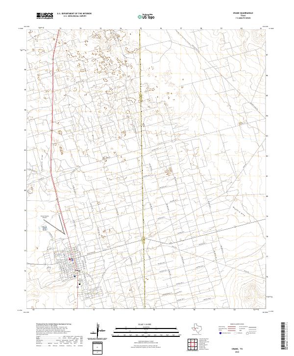
2022 Map of Crane
USGS Topo · Published 2022About this map
Crane serves as the focal point of this West Texas landscape, where the town’s grid is anchored by the Crane County Courthouse and the Crane County Airport. The surrounding terrain is defined by an extensive network of roads supporting the region's energy infrastructure, including numerous routes labeled for Chevron and legacy locations like Humble Camp Rd. Natural drainage features such as Landreth Draw and Mayfield Draw cut across the arid landscape, while the Crane Memorial Cem provides a point of significant genealogical interest for those researching local family histories. The map clearly delineates the boundary between Crane Co and Upton Co, showing how ranch roads like McElroy Ranch Rd and N S Tarpley Rd traverse the county line to connect remote homesteads and industrial sites.
Find a feature on this map
82 named features on this map. Tap any name to fly to it.
Don’t see what you’re looking for? This feature index may not catch every label — zoom into the map to look around manually.
Map Details
Editions of this 2022 Crane Map
This is the sole edition of this map. No revisions or reprints were ever made.
Other maps of this area

1928 · Crane
USGS Topo · 1:125,000

1954 · Pecos
USGS Topo · 1:250,000

1957 · Pecos
USGS Topo · 1:250,000

1964 · Doodle Bug Well
USGS Topo · 1:24,000

1964 · Perkins Lake
USGS Topo · 1:24,000

1968 · Benge Corner SW
USGS Topo · 1:24,000

1971 · McElroy Ranch
USGS Topo · 1:24,000

1971 · Marlboro Canyon
USGS Topo · 1:24,000

1974 · Crane SW
USGS Topo · 1:24,000
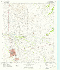
1974 · Crane
USGS Topo · 1:24,000