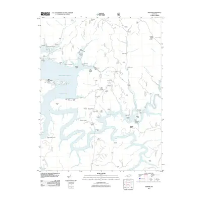
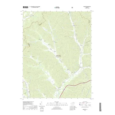
2022 Map of Cranston
USGS Topo · Published 2022About this map
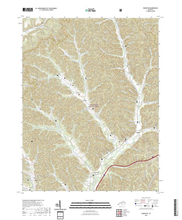
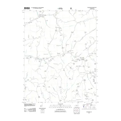
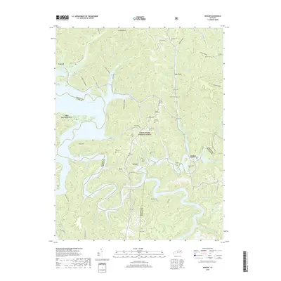
Daniel Boone National Forest dominates much of the eastern and central landscape of this Kentucky quadrangle, where the terrain is deeply etched by the North Fork Triplett Creek and its many tributaries. For genealogists, the map is remarkably dense with family burial grounds, including the Plank Family Cem, McCormic-McClure Cem, and Blanton-White Cem, reflecting generations of settlement along the creek bottoms. Small communities like Cranston, Waltz, and Triplett act as focal points within this complex network of ridges and hollows. The presence of the Sheltoee Trace Trl and various "Hollow" designations, such as White Pine Hollow and Poplar Hollow, illustrates a landscape where the natural geography heavily dictated the placement of roads and homesteads. Local routes like State Rd 799 Big Perry Rd follow the winding paths of the water, connecting these dispersed mountain settlements.
Find a feature on this map
111 named features on this map. Tap any name to fly to it.
Don’t see what you’re looking for? This feature index may not catch every label — zoom into the map to look around manually.
Map Details
Editions of this 2022 Cranston Map
This is the sole edition of this map. No revisions or reprints were ever made.
Historical Maps of Cranston Through Time
21 maps found

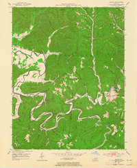
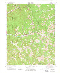
1951 Cranston
Rowan County, KY
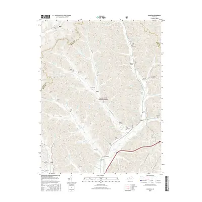
1953 Bangor
Rowan County, KY
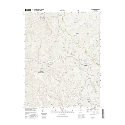
1953 Haldeman
Rowan County, KY
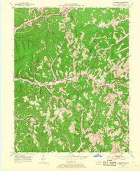
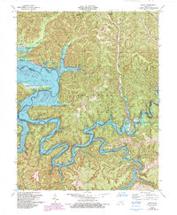
1970 Cranston
Rowan County, KY
1977 Haldeman
Rowan County, KY
1979 Bangor
Rowan County, KY
2011 Bangor
Rowan County, KY
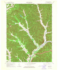
2011 Cranston
Rowan County, KY
2011 Haldeman
Rowan County, KY
2013 Bangor
Rowan County, KY
2013 Cranston
Rowan County, KY
2013 Haldeman
Rowan County, KY
2016 Bangor
Rowan County, KY
2016 Cranston
Rowan County, KY
2016 Haldeman
Rowan County, KY
2019 Bangor
Rowan County, KY
2019 Cranston
Rowan County, KY
2019 Haldeman
Rowan County, KY

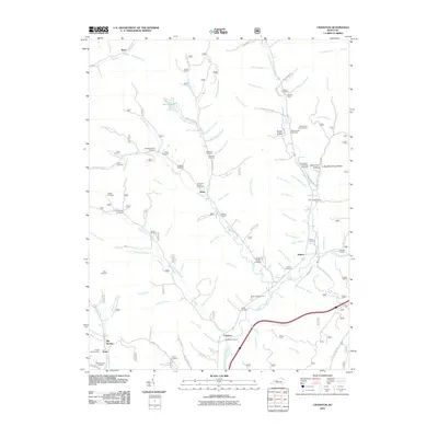
2022 Bangor
Rowan County, KY
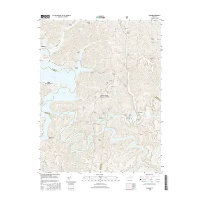
2022 Cranston
Rowan County, KY
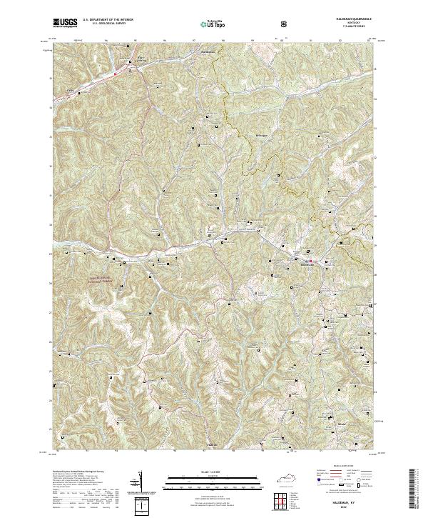
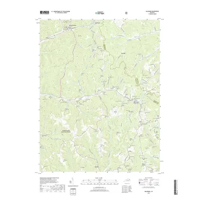
2022 Haldeman
Rowan County, KY