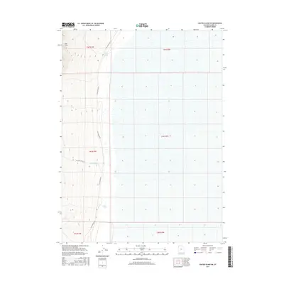
2017 Map of Crater Island SW
USGS Topo · Published 2017About this map
The Pilot Range defines the western landscape of this 2017 survey, where the steep elevation contours of the mountain front meet the expansive flats of the Great Salt Lake Desert. This transition zone is marked by critical desert water sources including South Patterson Spring and Donner Spring, names that carry deep significance for historical travel through this arid corridor. The primary transportation artery is Pilot Mountain Rd, which traces the base of the range north to south. A secondary route, Bettridge Springs Rd, provides access toward the interior of the mountains, following the drainage of Bettridge Cr. The map highlights a stark contrast between the high terrain and the surrounding basin floor, illustrating the sparse but vital infrastructure required to navigate this portion of Tooele County.
Find a feature on this map
12 named features on this map. Tap any name to fly to it.
Don’t see what you’re looking for? This feature index may not catch every label — zoom into the map to look around manually.
Map Details
Editions of this 2017 Crater Island SW Map
This is the sole edition of this map. No revisions or reprints were ever made.
Other maps of this area

1953 · Tooele
USGS Topo · 1:250,000

1954 · Brigham City
USGS Topo · 1:250,000

1955 · Tooele
USGS Topo · 1:250,000

1955 · Wells
USGS Topo · 1:250,000

1955 · Elko
USGS Topo · 1:250,000

1958 · Wells
USGS Topo · 1:250,000

1958 · Elko
USGS Topo · 1:250,000

1958 · Brigham City
USGS Topo · 1:250,000

1961 · Wells
USGS Topo · 1:250,000

1962 · Elko
USGS Topo · 1:250,000