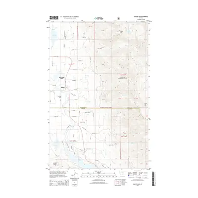
2014 Map of Crater Lake
USGS Topo · Published 2014About this map
Bear Creek Village and the eastern edge of Bigfork occupy the lower elevations of this landscape, where the Swan River flows toward the Flathead Valley. This area represents a complex interface of residential growth and protected wilderness, with numerous local roads like Meadow Creek Rd and Broken Leg Rd transitioning into the steep, roadless terrain of the Flathead National Forest.
Find a feature on this map
80 named features on this map. Tap any name to fly to it.
Don’t see what you’re looking for? This feature index may not catch every label — zoom into the map to look around manually.
Map Details
Editions of this 2014 Crater Lake Map
This is the sole edition of this map. No revisions or reprints were ever made.
Other maps of this area

1914 · Nyack
USGS Topo · 1:125,000

1920 · Flathead Lake
USGS Topo · 1:125,000

1943 · Kalispell
USGS Topo · 1:125,000

1955 · Choteau
USGS Topo · 1:250,000

1956 · Wallace
USGS Topo · 1:250,000

1957 · Choteau
USGS Topo · 1:250,000

1957 · Kalispell
USGS Topo · 1:250,000

1958 · Choteau
USGS Topo · 1:250,000

1960 · Kalispell
USGS Topo · 1:250,000

1960 · Wallace
USGS Topo · 1:250,000