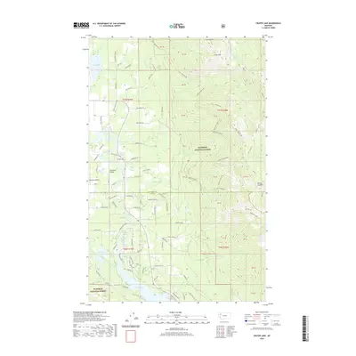
2020 Map of Crater Lake
USGS Topo · Published 2020About this map
Swan Lake and the Swan River anchor this 2020 landscape where the Flathead Valley meets the rising terrain of the Swan Range. The settlement of Bear Creek Village serves as a local hub near the Ferndale Airfield, reflecting a modern mix of residential development and agricultural use. Within the Flathead National Forest, the topography becomes increasingly complex, marked by prominent features like Crater Mtn and Broken Leg Mtn. A network of back-country paths and fire roads, including the Echo-Broken Leg and the Wild Swan Trl, weave through the elevations of the Broken Leg Divide. This survey captures the transition from the low-lying wetlands of Loon Lake and Mud Lake to the high alpine waters of Crater Lake, illustrating the drainage patterns of Wolf Cr and Peterson Cr.
Find a feature on this map
127 named features on this map. Tap any name to fly to it.
Don’t see what you’re looking for? This feature index may not catch every label — zoom into the map to look around manually.
Map Details
Editions of this 2020 Crater Lake Map
This is the sole edition of this map. No revisions or reprints were ever made.
Other maps of this area

1914 · Nyack
USGS Topo · 1:125,000

1920 · Flathead Lake
USGS Topo · 1:125,000

1943 · Kalispell
USGS Topo · 1:125,000

1955 · Choteau
USGS Topo · 1:250,000

1956 · Wallace
USGS Topo · 1:250,000

1957 · Choteau
USGS Topo · 1:250,000

1957 · Kalispell
USGS Topo · 1:250,000

1958 · Choteau
USGS Topo · 1:250,000

1960 · Kalispell
USGS Topo · 1:250,000

1960 · Wallace
USGS Topo · 1:250,000