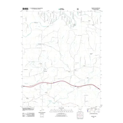
2011 Map of Cravens
USGS Topo · Published 2011About this map
The Mulberry River winds through the northern reaches of this landscape, its path marked by traditional river crossings such as Kings Ford and Ham Ford. The terrain transitions from the elevations of Boyd Mountain and Fisher Mountain in the west toward the waters of Ozark Lake in the south. This area of Franklin County is characterized by a network of small settlements and energy production, highlighted by the Lone Elm Gas Field and White Oak Gas Field.
Find a feature on this map
65 named features on this map. Tap any name to fly to it.
Don’t see what you’re looking for? This feature index may not catch every label — zoom into the map to look around manually.
Map Details
Editions of this 2011 Cravens Map
This is the sole edition of this map. No revisions or reprints were ever made.
Other maps of this area

1879 · Cravens
USGS Topo · 1:62,500

1887 · Magazine Mountain #2
USGS Topo · 1:62,500

1887 · Watalula
USGS Topo · 1:62,500

1887 · Magazine Mountain
USGS Topo · 1:62,500

1890 · Magazine Mountain
USGS Topo · 1:125,000

1890 · Fort Smith
USGS Topo · 1:125,000

1898 · Winslow #4
USGS Topo · 1:62,500

1898 · Winslow
USGS Topo · 1:125,000

1901 · Winslow
USGS Topo · 1:125,000

1906 · Lavaca
USGS Topo · 1:62,500