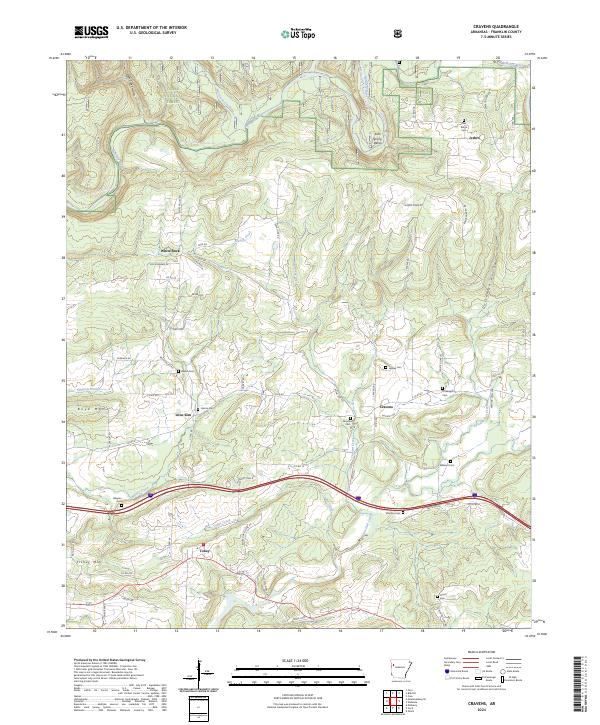
2024 Map of Cravens
USGS Topo · Published 2024About this map
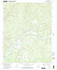
Ozark National Forest dominates the northern reaches of this map, where the Mulberry Wild And Scenic River carves through the terrain near Salt Spring Bend. The landscape transitions from protected forest to a mosaic of small settlements and family farms linked by a network of rural roads such as White Valley Rd and Royal Oak Rd. Numerous family burial grounds, including Oak Ridge Cem near Jethro and Threadgill Cem near Cravens, indicate generations of established residency in Franklin County.
Find a feature on this map
74 named features on this map. Tap any name to fly to it.
Don’t see what you’re looking for? This feature index may not catch every label — zoom into the map to look around manually.
Map Details
Editions of this 2024 Cravens Map
This is the sole edition of this map. No revisions or reprints were ever made.
Historical Maps of Toney Through Time
15 maps found

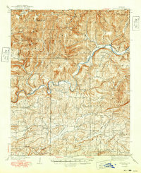
1879 Cravens
Franklin County, AR

1887 Magazine Mountain #2
Franklin County, AR

1887 Watalula
Franklin County, AR
1939 Watalula
Franklin County, AR
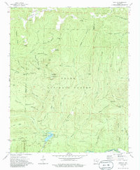
1965 Cecil
Franklin County, AR
1973 Bidville
Franklin County, AR
1973 Cass
Franklin County, AR
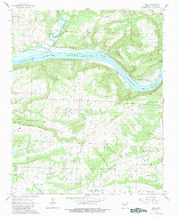
1973 Cravens
Franklin County, AR
1973 Watalula
Franklin County, AR
1993 Cecil
Franklin County, AR
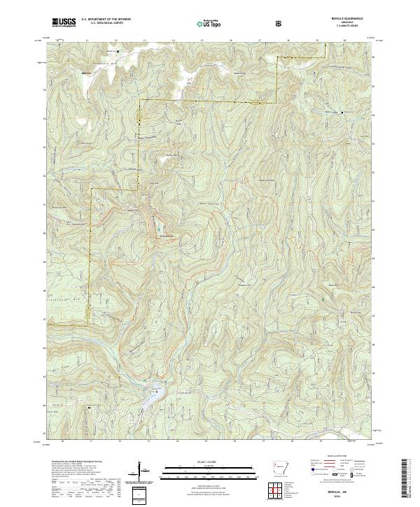
2024 Bidville
Franklin County, AR
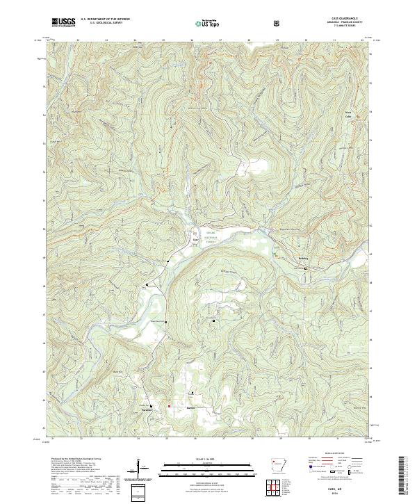
2024 Cass
Franklin County, AR
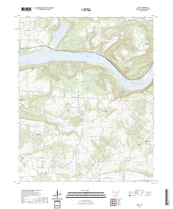
2024 Cecil
Franklin County, AR
2024 Cravens
Franklin County, AR
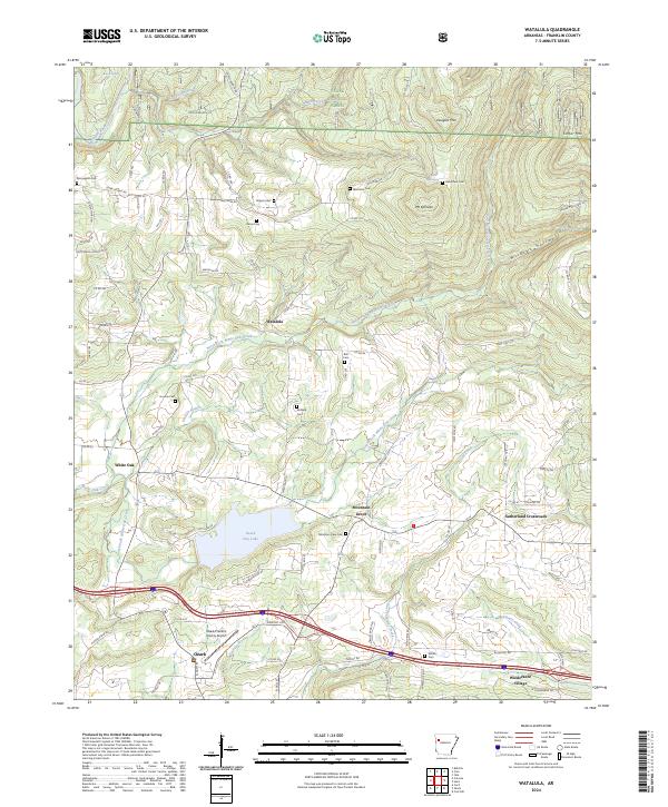
2024 Watalula
Franklin County, AR