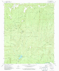
1973 Map of Bidville
USGS Topo · Published 1986About this map
Bidville sits along the northern edge of this Ozark plateau landscape, where the Crawford and Franklin county lines meet amidst the steep drainage of Frog Mountain. The 1970s terrain is defined by the high elevations of the Ozark National Forest, including the prominent White Rock Mountain and its associated Recreation Area. Water systems dominate the geography, with the Mulberry River flowing across the southern reach and Shores Lake providing a central focal point for local recreation. Genealogists can trace several small burial grounds across the ridges, such as Bidville Cem, Phillips Cem, and Brewer Cem, which are scattered among the many hollows and gaps like McMinn Hollow and Mullens Gap. The presence of a Pipeline and several overlooks indicates the mid-century intersection of industrial infrastructure and forest management.
Find a feature on this map
78 named features on this map. Tap any name to fly to it.
Don’t see what you’re looking for? This feature index may not catch every label — zoom into the map to look around manually.
Map Details
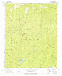
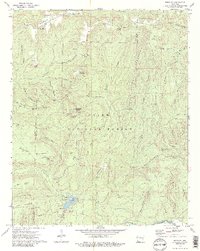
Editions of this 1973 Bidville Map
3 editions found
Other maps of this area

1879 · Cravens
USGS Topo · 1:62,500

1887 · Watalula
USGS Topo · 1:62,500

1898 · Winslow #4
USGS Topo · 1:62,500

1898 · Winslow
USGS Topo · 1:125,000

1901 · Winslow
USGS Topo · 1:125,000

1939 · Watalula
USGS Topo · 1:62,500

1943 · St. Paul
USGS Topo · 1:62,500

1946 · St. Paul
USGS Topo · 1:62,500

1946 · Fort Smith
USGS Topo · 1:250,000

1956 · Russellville
USGS Topo · 1:250,000