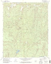
1973 Map of Bidville
USGS Topo · Published 1986About this map
Bidville and the high ridges of the Ozark National Forest define this landscape along the border of Crawford and Franklin counties. In the early 1970s, this area remained largely defined by its natural topography and remote recreation sites, such as the White Rock Mountain Recreation Area and the Shores Lake Recreation Area. The map reveals a network of hollows and gaps, including Wagley Hollow and Mullens Gap, that channeled early movement through the difficult terrain. Local family history is preserved at sites like Bidville Cem, Phillips Cem, and Brewer Cem, while the southern border is traced by the Mulberry River, where Milton Ford provided a crossing point. The presence of a Lookout Tower on White Rock Mountain and several scenic overlooks indicates the area's role as a vantage point for forest management and tourism in the post-war era.
Find a feature on this map
74 named features on this map. Tap any name to fly to it.
Don’t see what you’re looking for? This feature index may not catch every label — zoom into the map to look around manually.
Map Details
Editions of this 1973 Bidville Map
3 editions found
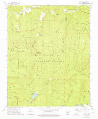
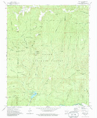
Other maps of this area

1879 · Cravens
USGS Topo · 1:62,500

1887 · Watalula
USGS Topo · 1:62,500

1898 · Winslow #4
USGS Topo · 1:62,500

1898 · Winslow
USGS Topo · 1:125,000

1901 · Winslow
USGS Topo · 1:125,000

1939 · Watalula
USGS Topo · 1:62,500

1943 · St. Paul
USGS Topo · 1:62,500

1946 · St. Paul
USGS Topo · 1:62,500

1946 · Fort Smith
USGS Topo · 1:250,000

1956 · Russellville
USGS Topo · 1:250,000