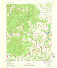
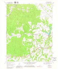
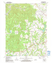
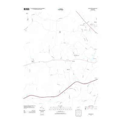
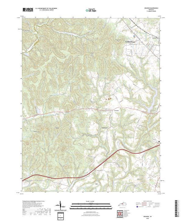
1967 Map of Cravens
USGS Topo · Published 1969About this map
Knobs State Forest and Bernheim Forest dominate the northern and western reaches of this 1967 survey, where the timbered hills of the Bluegrass region give way to complex drainage patterns. The Louisville and Nashville railroad tracks cut through the northeastern corner near Hunters, while the modern Blue Grass Parkway bisects the southern half, bridging the winding Beech Fork river. This era shows a landscape in transition, where old family lanes and country landmarks like Cedar Creek Ch and several small Cem sites sit adjacent to industrial developments such as the Filtration Plant and active Quarry operations. The presence of evocative names like Indian Grave Ridge, Spooky Hollow, and Rattlesnake Run suggests a deep-rooted local history tied to the specific topography of the knobs and creek bottoms near Cravens and Bellwood.
Find a feature on this map
31 named features on this map. Tap any name to fly to it.
Don’t see what you’re looking for? This feature index may not catch every label — zoom into the map to look around manually.
Map Details
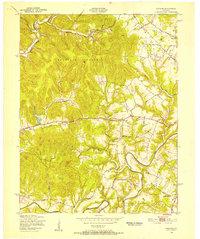
Editions of this 1967 Cravens Map
2 editions found
Historical Maps of Bardstown Through Time
15 maps found
1949 Cravens
Nelson County, KY
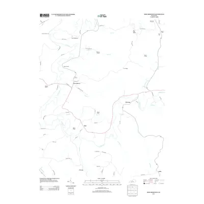
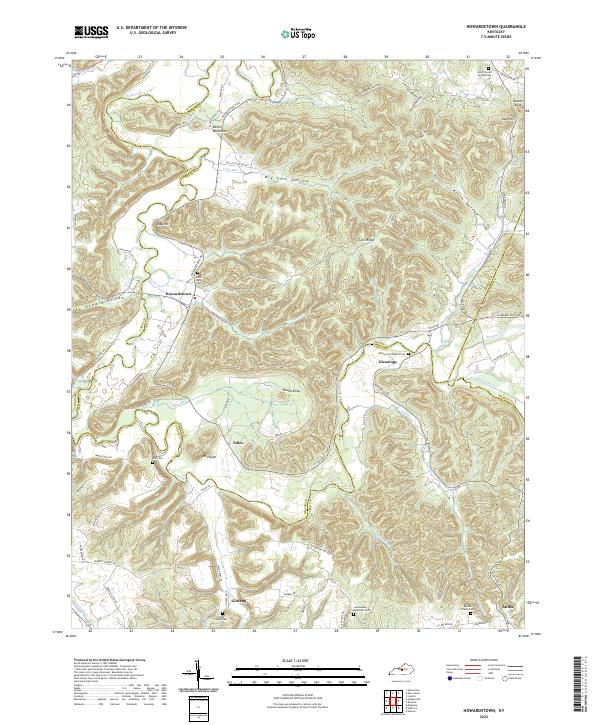
1953 Howardstown
Nelson County, KY
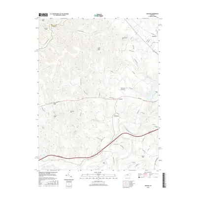
1962 Cravens
Nelson County, KY
1967 Cravens
Nelson County, KY
1992 Cravens
Nelson County, KY
2010 Cravens
Nelson County, KY
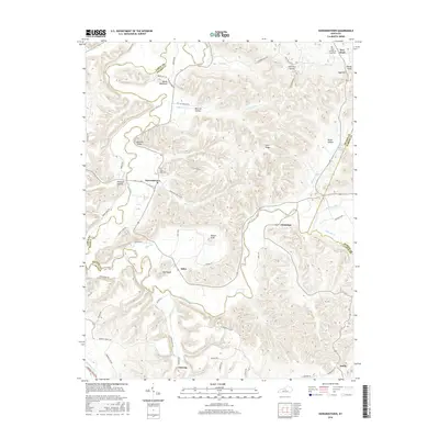
2010 Howardstown
Nelson County, KY
2013 Cravens
Nelson County, KY
2013 Howardstown
Nelson County, KY
2016 Cravens
Nelson County, KY
2016 Howardstown
Nelson County, KY
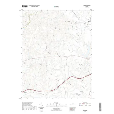
2019 Cravens
Nelson County, KY
2019 Howardstown
Nelson County, KY
2022 Cravens
Nelson County, KY
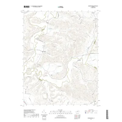
2022 Howardstown
Nelson County, KY