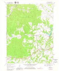
1967 Map of Cravens
USGS Topo · Published 1979About this map
Knobs State Forest and Bernheim Forest dominate the northern landscape of this region, where the heavily wooded slopes of Indian Grave Ridge rise above the winding waters of Harrison Fork. This 1960s era survey captures a transition in Nelson County's infrastructure, showing the Blue Grass Parkway cutting across the southern half of the map while the older corridor of the Louisville and Nashville railroad serves the eastern edge near Hunters. Small rural centers like Cravens and Bellwood are centered near the confluence of Lick Creek and Cedar Creek, with the latter being home to the Cedar Creek Ch. Along the eastern boundary, Sympson Lake and Samuels Field reflect the mid-century development of the area's water and aviation resources near the border with Bullitt County.
Find a feature on this map
31 named features on this map. Tap any name to fly to it.
Don’t see what you’re looking for? This feature index may not catch every label — zoom into the map to look around manually.
Map Details
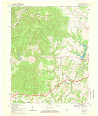
Editions of this 1967 Cravens Map
2 editions found
Other maps of this area

1949 · Cravens
USGS Topo · 1:24,000

1949 · Shepherdsville
USGS Topo · 1:24,000

1949 · Samuels
USGS Topo · 1:24,000

1949 · Shepherdsville
USGS Topo · 1:62,500

1953 · Loretto
USGS Topo · 1:24,000

1953 · Nelsonville
USGS Topo · 1:24,000

1953 · Bardstown
USGS Topo · 1:24,000

1953 · New Haven
USGS Topo · 1:24,000

1953 · Fairfield
USGS Topo · 1:24,000

1957 · Winchester
USGS Topo · 1:250,000