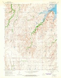
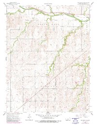
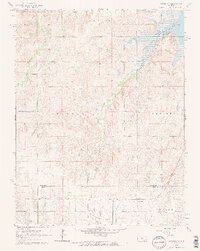
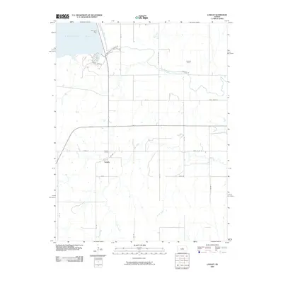
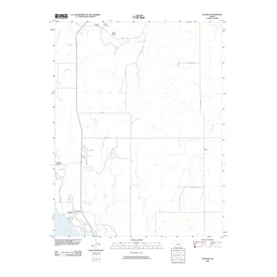
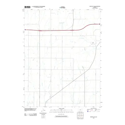
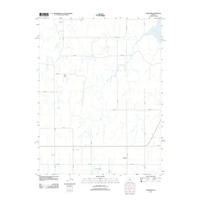
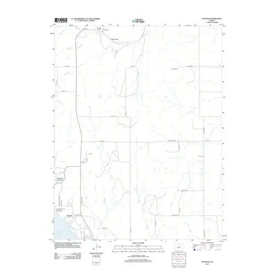
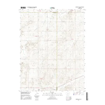
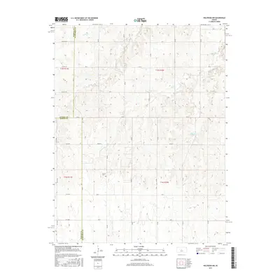
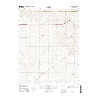
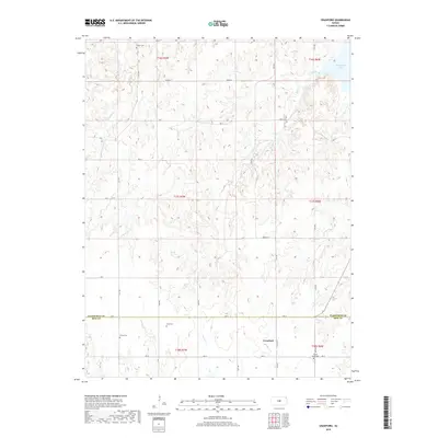
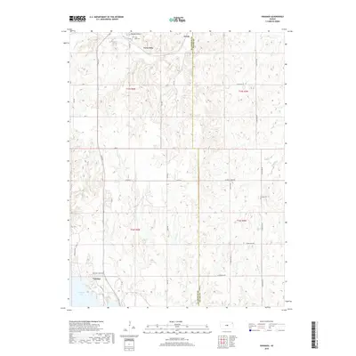
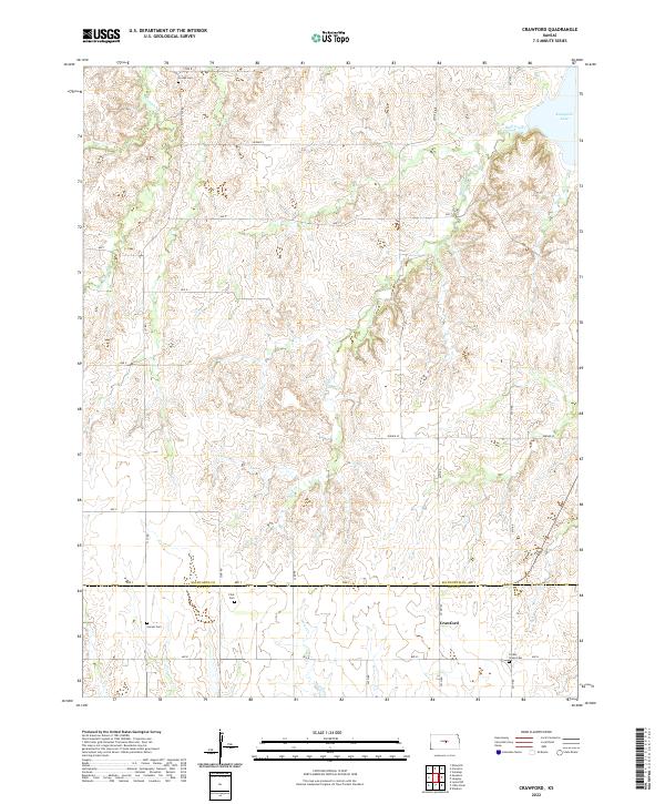
1964 Map of Crawford
USGS Topo · Published 1965About this map
Thompson Creek and Horse Creek carve through the central Kansas landscape, winding toward the expansive shoreline of the Kanopolis Reservoir in the northeast. This mid-century survey captures the rural character of the border between Ellsworth and Rice Counties, where small family burial grounds like Scates Cem and Locum Cem dot the sections between township lines. The settlement of Crawford serves as a local focal point near the Missouri Pacific railroad line, which provides a critical transportation corridor through the agricultural terrain. Resource extraction is evident in the southern portion of the quadrangle, notably within the Click Southeast Oil Field and scattered Oil Wells. The map reflects a period when the local economy relied heavily on this intersection of rail infrastructure, petroleum interests, and established farming communities defined by historical townships such as Trivoli and Odessa.
Find a feature on this map
18 named features on this map. Tap any name to fly to it.
Don’t see what you’re looking for? This feature index may not catch every label — zoom into the map to look around manually.
Map Details
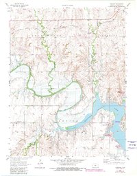
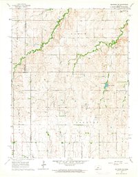
Editions of this 1964 Crawford Map
2 editions found
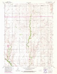
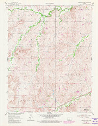
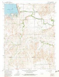
Historical Maps of Crawford Through Time
60 maps found
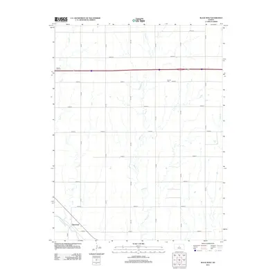
1957 Black Wolf
Ellsworth County, KS
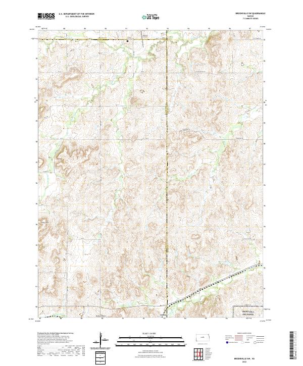
1957 Brookville SW
Ellsworth County, KS
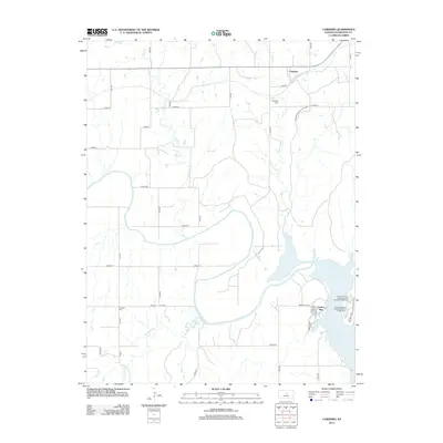
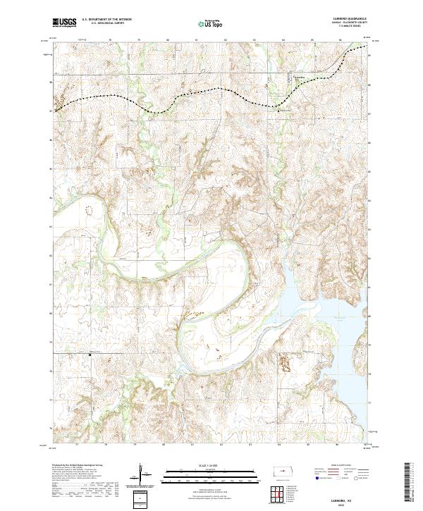
1957 Carneiro
Ellsworth County, KS
1957 Holyrood NE
Ellsworth County, KS
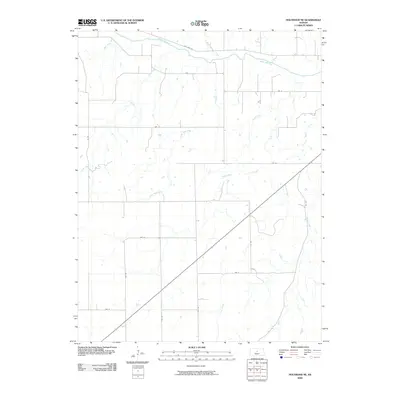
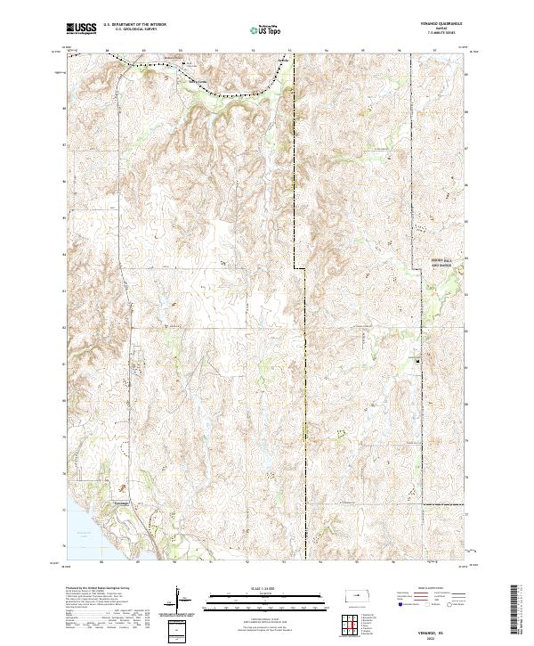
1957 Venango
Ellsworth County, KS
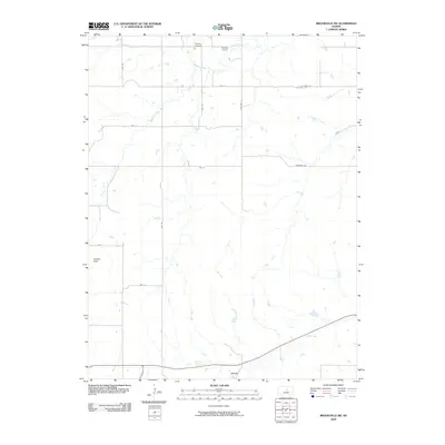
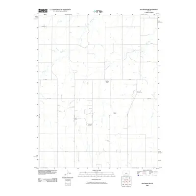
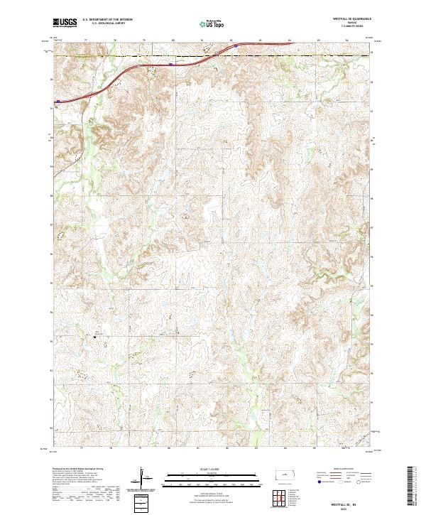
1957 Westfall SE
Ellsworth County, KS
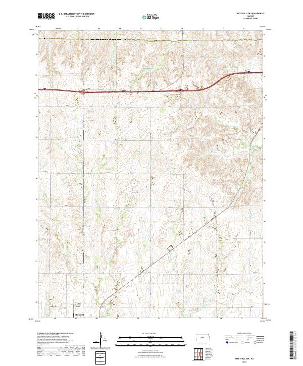
1957 Westfall SW
Ellsworth County, KS
1964 Crawford
Ellsworth County, KS
1964 Holyrood NW
Ellsworth County, KS
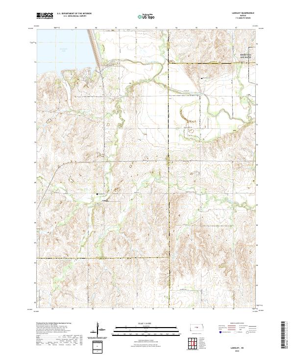
1964 Langley
Ellsworth County, KS
2009 Black Wolf
Ellsworth County, KS
2009 Brookville SW
Ellsworth County, KS
2009 Holyrood NE
Ellsworth County, KS
2009 Holyrood NW
Ellsworth County, KS
2009 Langley
Ellsworth County, KS
2009 Venango
Ellsworth County, KS
2009 Westfall SE
Ellsworth County, KS
2010 Carneiro
Ellsworth County, KS
2010 Crawford
Ellsworth County, KS
2010 Westfall SW
Ellsworth County, KS
2012 Black Wolf
Ellsworth County, KS
2012 Brookville SW
Ellsworth County, KS
2012 Carneiro
Ellsworth County, KS
2012 Crawford
Ellsworth County, KS
2012 Holyrood NE
Ellsworth County, KS
2012 Holyrood NW
Ellsworth County, KS
2012 Langley
Ellsworth County, KS
2012 Venango
Ellsworth County, KS
2012 Westfall SE
Ellsworth County, KS
2012 Westfall SW
Ellsworth County, KS
2015 Black Wolf
Ellsworth County, KS
2015 Brookville SW
Ellsworth County, KS
2015 Carneiro
Ellsworth County, KS
2015 Crawford
Ellsworth County, KS
2015 Holyrood NE
Ellsworth County, KS
2015 Holyrood NW
Ellsworth County, KS
2015 Langley
Ellsworth County, KS
2015 Venango
Ellsworth County, KS
2015 Westfall SE
Ellsworth County, KS
2015 Westfall SW
Ellsworth County, KS
2018 Black Wolf
Ellsworth County, KS
2018 Brookville SW
Ellsworth County, KS
2018 Carneiro
Ellsworth County, KS
2018 Crawford
Ellsworth County, KS
2018 Holyrood NE
Ellsworth County, KS
2018 Holyrood NW
Ellsworth County, KS
2018 Langley
Ellsworth County, KS
2018 Venango
Ellsworth County, KS
2018 Westfall SE
Ellsworth County, KS
2018 Westfall SW
Ellsworth County, KS
2022 Black Wolf
Ellsworth County, KS
2022 Brookville SW
Ellsworth County, KS
2022 Carneiro
Ellsworth County, KS
2022 Crawford
Ellsworth County, KS

2022 Holyrood NE
Ellsworth County, KS

2022 Holyrood NW
Ellsworth County, KS
2022 Langley
Ellsworth County, KS
2022 Venango
Ellsworth County, KS
2022 Westfall SE
Ellsworth County, KS
2022 Westfall SW
Ellsworth County, KS