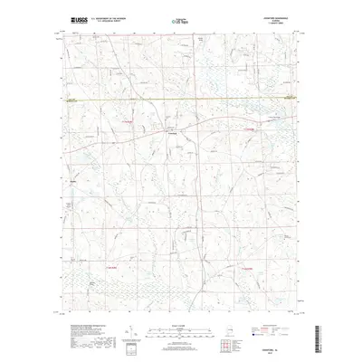
2018 Map of Crawford
USGS Topo · Published 2018About this map
Crawford and the surrounding borderlands of Lee and Russell Counties are defined by a complex network of creeks and small impoundments. The landscape is structured around the drainage of Little Uchee Creek and Uchee Creek, which are spanned by local landmarks such as Bishops Bridge and Hichitee Bridge. This area exhibits a pattern of rural settlement where family names are etched into the geography, seen in the numerous private ponds like Lydells Pond and Gullatts Lake.
Find a feature on this map
107 named features on this map. Tap any name to fly to it.
Don’t see what you’re looking for? This feature index may not catch every label — zoom into the map to look around manually.
Map Details
Editions of this 2018 Crawford Map
This is the sole edition of this map. No revisions or reprints were ever made.
Other maps of this area

1907 · Opelika
USGS Topo · 1:125,000

1909 · Opelika
USGS Topo · 1:125,000

1914 · Seale
USGS Topo · 1:62,500

1949 · Fort Mitchell
USGS Topo · 1:24,000

1950 · Crawford
USGS Topo · 1:24,000

1950 · Seale
USGS Topo · 1:24,000

1950 · Phenix City
USGS Topo · 1:24,000

1950 · Seale
USGS Topo · 1:62,500

1955 · Phenix City
USGS Topo · 1:24,000

1955 · Seale
USGS Topo · 1:24,000