
1955 Map of Phenix City
USGS Topo · Published 1959About this map
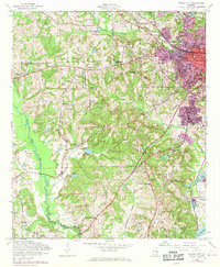
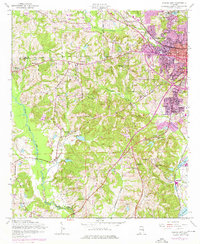
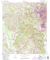
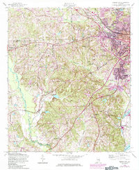
The Alabama-Georgia borderlands near Phenix City and Girard are characterized by the winding path of Little Uchee Creek and the industrial activity centered at Brickyard and Kaolin. This mid-century survey reveals a landscape transitioning from rural hamlets to suburban development, with numerous local landmarks such as Mother Mary Mission, Camp Parkman, and the Phenix City Airport. The area is heavily marked by its social and educational infrastructure, including Bethlehem School and Carmichael School, along with a high density of rural churches like Woodland Ch and Sunderland Ch. The Central of Georgia railroad corridor anchors the eastern edge of the map, while family histories are preserved at the Friendship Cem and Evans Cem.
Find a feature on this map
52 named features on this map. Tap any name to fly to it.
Don’t see what you’re looking for? This feature index may not catch every label — zoom into the map to look around manually.
Map Details
Editions of this 1955 Phenix City Map
5 editions found
Other maps of this area

1907 · Talbotton
USGS Topo · 1:125,000

1907 · Opelika
USGS Topo · 1:125,000

1908 · Columbus
USGS Topo · 1:62,500

1909 · Opelika
USGS Topo · 1:125,000

1914 · Seale
USGS Topo · 1:62,500

1929 · Columbus
USGS Topo · 1:48,000

1947 · Columbus
USGS Topo · 1:62,500

1949 · Fort Mitchell
USGS Topo · 1:24,000

1949 · Columbus
USGS Topo · 1:24,000

1950 · Fort Benning
USGS Topo · 1:24,000