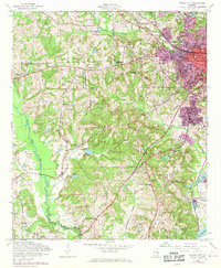
1955 Map of Phenix City
USGS Topo · Published 1970About this map
Phenix City sits at the heart of this mid-century survey, showing the transition from a dense urban grid to the sprawling rural landscapes of Lee and Russell Counties. The purple revisions illustrate the late-1960s expansion of the city limits, particularly around Golden Acres and the industrial zones near Kaolin. Along the Central of Georgia Railroad, the settlement of Brickyard anchors the southeastern corner, supported by local Kilns and the Brickyard School.
Find a feature on this map
57 named features on this map. Tap any name to fly to it.
Don’t see what you’re looking for? This feature index may not catch every label — zoom into the map to look around manually.
Map Details
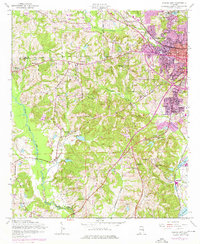
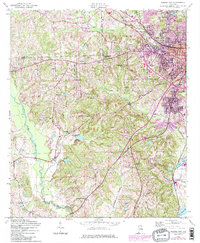
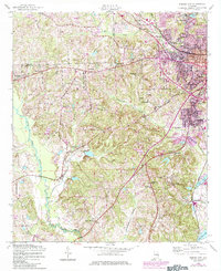
Editions of this 1955 Phenix City Map
5 editions found

Other maps of this area

1907 · Talbotton
USGS Topo · 1:125,000

1907 · Opelika
USGS Topo · 1:125,000

1908 · Columbus
USGS Topo · 1:62,500

1909 · Opelika
USGS Topo · 1:125,000

1914 · Seale
USGS Topo · 1:62,500

1929 · Columbus
USGS Topo · 1:48,000

1947 · Columbus
USGS Topo · 1:62,500

1949 · Fort Mitchell
USGS Topo · 1:24,000

1949 · Columbus
USGS Topo · 1:24,000

1950 · Fort Benning
USGS Topo · 1:24,000