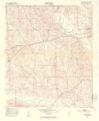
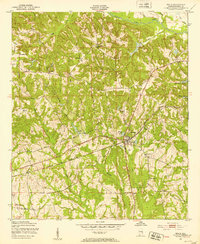
1950 Map of Crawford
USGS Topo · Published 1953About this map
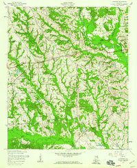
Crawford serves as a central hub for this rural landscape in the mid-twentieth century, situated near the boundary where Lee and Russell counties meet. The settlement pattern is defined by small community focal points such as St Johns Ch and St Pauls Ch, alongside the local Uchee Sch. The terrain is deeply carved by an intricate drainage system including Little Uchee Creek, Hospilika Creek, and Maringo Creek, which necessitated numerous named crossings like Moff Bridge and Hichitee Bridge. These bridges and the winding Sandfort Road illustrate the era's reliance on localized transportation networks to connect remote homesteads and agricultural tracts. Further south, Pleasant Hill Ch and Uchee Chapel highlight the established social geography of the area, anchoring the small-scale farming neighborhoods that dominated this part of Alabama before modern rural consolidation.
Find a feature on this map
24 named features on this map. Tap any name to fly to it.
Don’t see what you’re looking for? This feature index may not catch every label — zoom into the map to look around manually.
Map Details
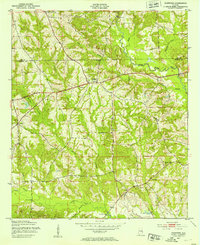
Editions of this 1950 Crawford Map
2 editions found
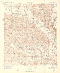
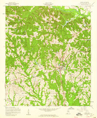
Other maps of this area

1907 · Opelika
USGS Topo · 1:125,000

1909 · Opelika
USGS Topo · 1:125,000
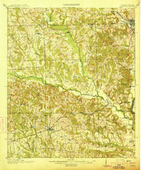
1914 · Seale
USGS Topo · 1:62,500
1949 · Fort Mitchell
USGS Topo · 1:24,000
1950 · Seale
USGS Topo · 1:24,000
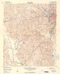
1950 · Phenix City
USGS Topo · 1:24,000

1950 · Seale
USGS Topo · 1:62,500
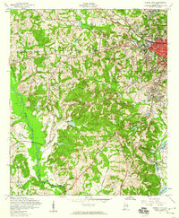
1955 · Phenix City
USGS Topo · 1:24,000
1955 · Seale
USGS Topo · 1:24,000
1955 · Crawford
USGS Topo · 1:24,000