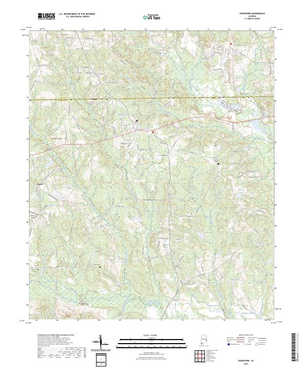
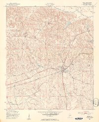
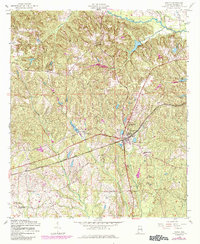
2024 Map of Crawford
USGS Topo · Published 2024This historical map portrays the area of Crawford in 2024, primarily covering Russell County as well as portions of Lee County. Featuring a scale of 1:24000, this map provides a highly detailed snapshot of the terrain, roads, buildings, counties, and historical landmarks in the Crawford region at the time. Published in 2024, it is the sole known edition of this map.
Map Details
Editions of this 2024 Crawford Map
This is the sole edition of this map. No revisions or reprints were ever made.
Historical Maps of Hugley Through Time
20 maps found
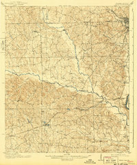
1914 Seale
Russell County, AL
1949 Fort Mitchell
Russell County, AL
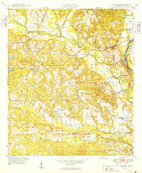
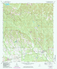
1950 Crawford
Russell County, AL
1950 Seale
Russell County, AL

1950 Seale
Russell County, AL
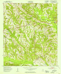
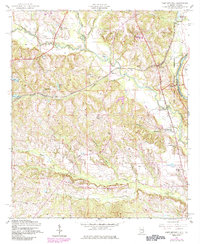
1955 Crawford
Russell County, AL
1955 Fort Mitchell
Russell County, AL

1955 Seale
Russell County, AL
1955 Seale
Russell County, AL
1957 Pittsview
Russell County, AL

1971 Marvyn
Russell County, AL
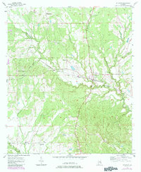
1973 Hatchechubbee
Russell County, AL
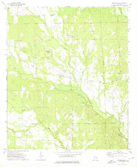
1973 Rutherford
Russell County, AL
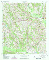
2024 Crawford
Russell County, AL

2024 Fort Mitchell
Russell County, AL
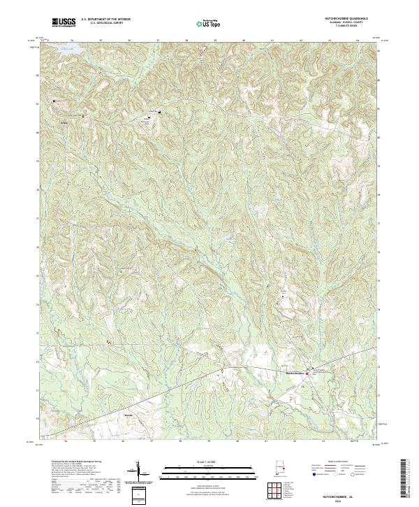
2024 Hatchechubbee
Russell County, AL
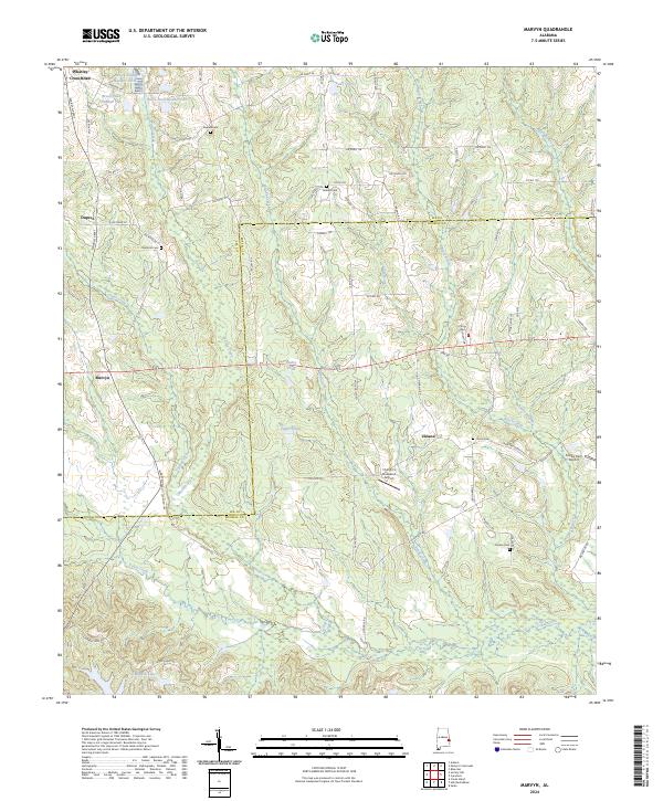
2024 Marvyn
Russell County, AL
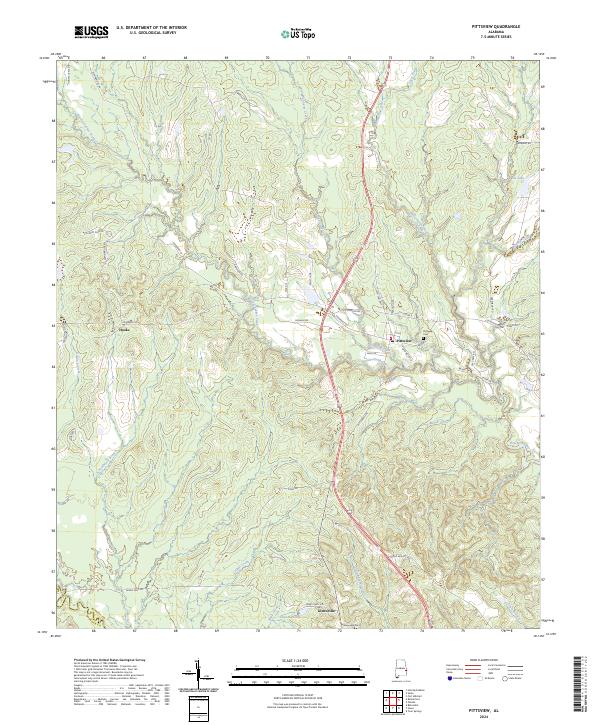
2024 Pittsview
Russell County, AL
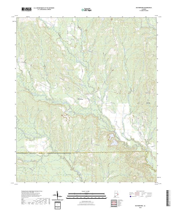
2024 Rutherford
Russell County, AL
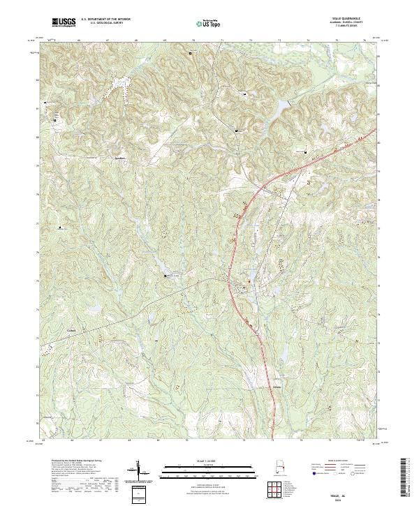
2024 Seale
Russell County, AL