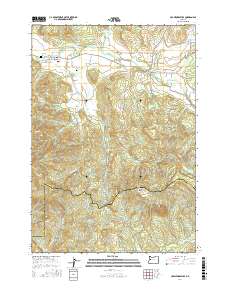
2017 Map of Crawfordsville
USGS Topo · Published 2017About this map
The Calapooia River meanders through the northern valley of this Linn County landscape, anchoring the settlements of Crawfordsville and Holley. This 2017 survey details a transition from river-bottom agriculture and small-town infrastructure to the rising elevations of Crescent Hill and Georges Knob to the south. Local heritage is preserved in the location of the Independent Order of Odd Fellows Cem and the Crawfordsville Union Cem, which sit near the river's path.
Find a feature on this map
53 named features on this map. Tap any name to fly to it.
Don’t see what you’re looking for? This feature index may not catch every label — zoom into the map to look around manually.
Map Details
Editions of this 2017 Crawfordsville Map
This is the sole edition of this map. No revisions or reprints were ever made.
Other maps of this area

1911 · Brownsville
USGS Topo · 1:31,680

1921 · Brownsville
USGS Topo · 1:62,500

1950 · Marcola
USGS Topo · 1:62,500

1950 · Brownsville
USGS Topo · 1:62,500

1951 · Sweet Home
USGS Topo · 1:62,500

1951 · Leaburg
USGS Topo · 1:62,500

1952 · Brownsville
USGS Topo · 1:62,500

1952 · Marcola
USGS Topo · 1:62,500

1953 · Salem
USGS Topo · 1:250,000

1954 · Salem
USGS Topo · 1:250,000