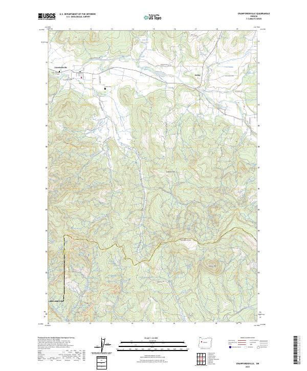
2023 Map of Crawfordsville
USGS Topo · Published 2023About this map
The Calapooia River meanders through the northern reaches of this landscape, connecting the small settlements of Crawfordsville and Holley. This area is rich with genealogical significance, evidenced by historic burial sites such as Finley Pioneer Cem and Union Cem. The terrain transitions from river valleys to more prominent elevations including Crescent Hill and Georges Knob, eventually crossing the Linn Co Lane Co boundary in the south.
Find a feature on this map
49 named features on this map. Tap any name to fly to it.
Don’t see what you’re looking for? This feature index may not catch every label — zoom into the map to look around manually.
Map Details
Editions of this 2023 Crawfordsville Map
This is the sole edition of this map. No revisions or reprints were ever made.
Other maps of this area

1911 · Brownsville
USGS Topo · 1:31,680

1921 · Brownsville
USGS Topo · 1:62,500

1950 · Marcola
USGS Topo · 1:62,500

1950 · Brownsville
USGS Topo · 1:62,500

1951 · Sweet Home
USGS Topo · 1:62,500

1951 · Leaburg
USGS Topo · 1:62,500

1952 · Brownsville
USGS Topo · 1:62,500

1952 · Marcola
USGS Topo · 1:62,500

1953 · Salem
USGS Topo · 1:250,000

1954 · Salem
USGS Topo · 1:250,000