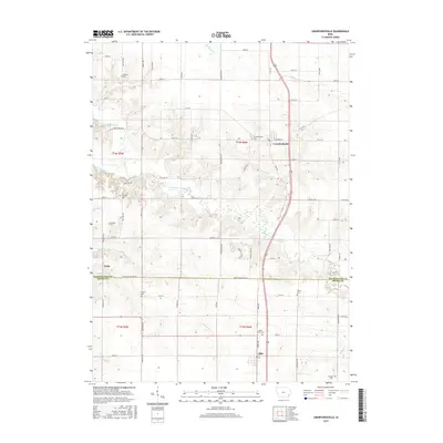
2015 Map of Crawfordsville
USGS Topo · Published 2015About this map
Crawfordsville sits as a central hub in this section of southeastern Iowa, where the gridded country roads of Washington and Henry counties converge. This agricultural landscape is defined by the winding paths of Crooked Creek and its tributaries, including East Fork Crooked Creek and West Fork Crooked Creek, which cut through the otherwise orderly sections of the Public Land Survey System. The map reveals a dense network of local heritage sites, particularly a high concentration of rural cemeteries such as Rumble Cem and Fern Cliff Evangelic Cem. These sites, often located near small settlements like Noble or tucked away off routes like Sockum Ridge Rd, serve as primary markers for family historians tracing the early inhabitants of the region. To the south, the settlement of Olds anchors the lower portion of the map, illustrating the continued importance of these small township centers in the modern era.
Find a feature on this map
67 named features on this map. Tap any name to fly to it.
Don’t see what you’re looking for? This feature index may not catch every label — zoom into the map to look around manually.
Map Details
Editions of this 2015 Crawfordsville Map
This is the sole edition of this map. No revisions or reprints were ever made.
Other maps of this area

1958 · Davenport
USGS Topo · 1:250,000

1961 · Davenport
USGS Topo · 1:250,000

1962 · Davenport
USGS Topo · 1:250,000

1969 · Washington
USGS Topo · 1:24,000

1970 · Cotter
USGS Topo · 1:24,000

1970 · Ainsworth
USGS Topo · 1:24,000

1980 · Trenton
USGS Topo · 1:24,000

1980 · Wayland
USGS Topo · 1:24,000
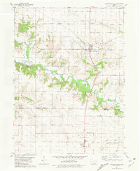
1981 · Crawfordsville
USGS Topo · 1:24,000
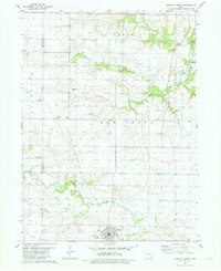
1981 · Winfield North
USGS Topo · 1:24,000