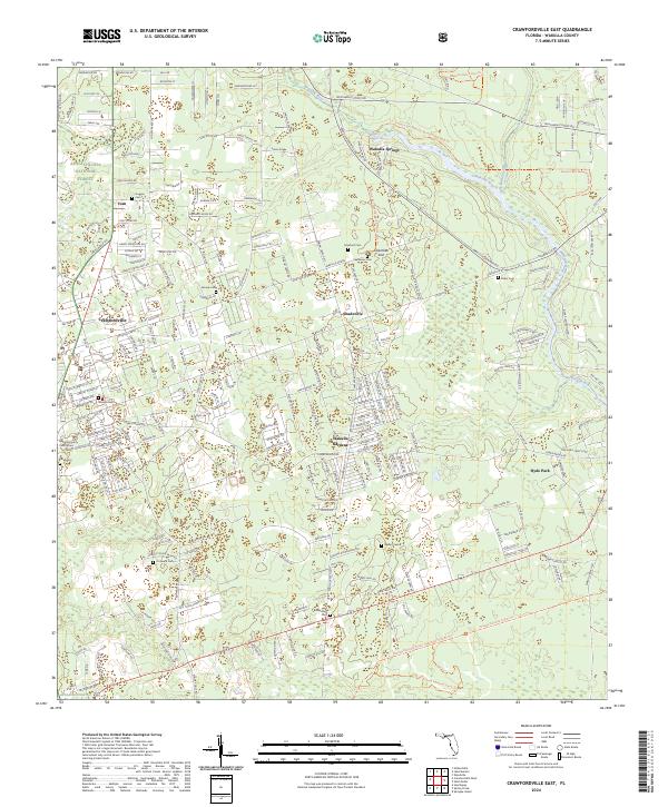
2024 Map of Crawfordville East
USGS Topo · Published 2024About this map
Wakulla Springs and the headwaters of the Wakulla River anchor this modern-day survey of the Florida panhandle's karst landscape. The area is a mosaic of conservation lands and growing residential pockets, with the Apalachicola National Forest and the Saint Marks National Wildlife Refuge protecting significant portions of the terrain. Local governance and history are centered around Crawfordville, where the Wakulla County Courthouse stands as a focal point.
Find a feature on this map
313 named features on this map. Tap any name to fly to it.
Don’t see what you’re looking for? This feature index may not catch every label — zoom into the map to look around manually.
Map Details
Editions of this 2024 Crawfordville East Map
This is the sole edition of this map. No revisions or reprints were ever made.
Other maps of this area

1940 · Tallahassee
USGS Topo · 1:62,500

1940 · Arran
USGS Topo · 1:62,500

1942 · Tallahassee
USGS Topo · 1:62,500

1943 · Arran
USGS Topo · 1:62,500

1943 · Tallahassee
USGS Topo · 1:62,500

1954 · Sprague Island
USGS Topo · 1:24,000

1954 · Woodville
USGS Topo · 1:24,000

1954 · St. Marks
USGS Topo · 1:24,000

1954 · Tallahassee
USGS Topo · 1:250,000

1959 · Tallahassee
USGS Topo · 1:250,000