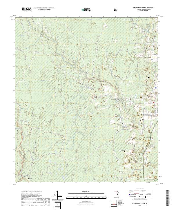
2024 Map of Crawfordville West
USGS Topo · Published 2024About this map
Apalachicola National Forest dominates this landscape in Wakulla County, where the dense pine flatwoods and cypress strands of the Bradwell Bay Wilderness meet the small settlements west of the county seat. The map identifies the community of Arran, situated near several historic burial grounds including Arran Cem and Arran Annex Cem. Further south, the site of Lawhons Mill along Mill Creek points to the area's history of water-powered industry in the low-lying drainage basins of Mill Bay and Grimes Bay.
Find a feature on this map
87 named features on this map. Tap any name to fly to it.
Don’t see what you’re looking for? This feature index may not catch every label — zoom into the map to look around manually.
Map Details
Editions of this 2024 Crawfordville West Map
This is the sole edition of this map. No revisions or reprints were ever made.
Other maps of this area

1940 · Tallahassee
USGS Topo · 1:62,500

1940 · Arran
USGS Topo · 1:62,500

1942 · Tallahassee
USGS Topo · 1:62,500

1943 · Arran
USGS Topo · 1:62,500

1943 · Tallahassee
USGS Topo · 1:62,500

1943 · Lake Talquin
USGS Topo · 1:62,500

1945 · Bradwell Bay
USGS Topo · 1:31,680

1945 · Sanborn
USGS Topo · 1:31,680

1954 · Tallahassee
USGS Topo · 1:250,000

1959 · Tallahassee
USGS Topo · 1:250,000