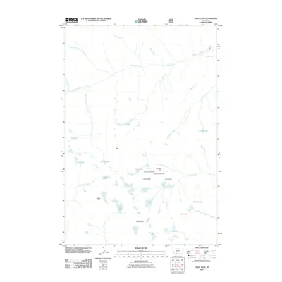
2011 Map of Crazy Peak
USGS Topo · Published 2011About this map
Granite Peak and its surrounding summits anchor this high-elevation survey of Park County, where the topography is defined by sharp verticality and alpine water systems. The map details a significant concentration of early 21st-century mining interest centered near the Granite Mountain Shaft, including the Stemwinder Mine and Upper Stemwinder Mine. These sites sit at the headwaters of Big Timber Creek, illustrating the spatial relationship between industrial extraction and the primary drainage systems of the region.
Find a feature on this map
39 named features on this map. Tap any name to fly to it.
Don’t see what you’re looking for? This feature index may not catch every label — zoom into the map to look around manually.
Map Details
Editions of this 2011 Crazy Peak Map
This is the sole edition of this map. No revisions or reprints were ever made.
Other maps of this area

1886 · Little Belt Mts.
USGS Topo · 1:250,000

1891 · Livingston
USGS Topo · 1:250,000

1893 · Livingston
USGS Topo · 1:250,000

1894 · Little Belt Mts.
USGS Topo · 1:250,000

1897 · Little Belt Mts.
USGS Topo · 1:250,000

1898 · Little Belt Mts.
USGS Topo · 1:250,000

1902 · Little Belt Mts.
USGS Topo · 1:250,000

1947 · Bozeman
USGS Topo · 1:250,000

1948 · Bozeman
USGS Topo · 1:250,000

1948 · White Sulphur Springs
USGS Topo · 1:250,000