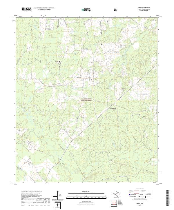
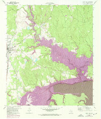
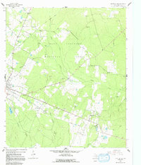
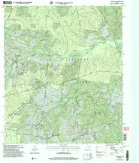
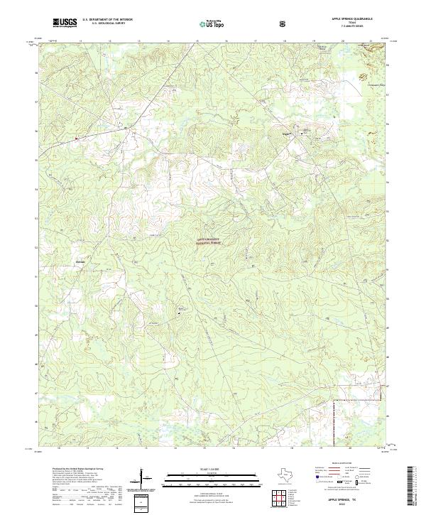
2022 Map of Crecy
USGS Topo · Published 2022This historical map portrays the area of Crecy in 2022, primarily covering Trinity County. Featuring a scale of 1:24000, this map provides a highly detailed snapshot of the terrain, roads, buildings, counties, and historical landmarks in the Crecy region at the time. Published in 2022, it is the sole known edition of this map.
Map Details
Editions of this 2022 Crecy Map
This is the sole edition of this map. No revisions or reprints were ever made.
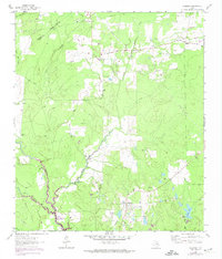
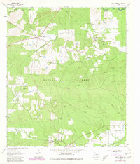
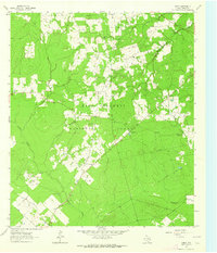
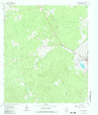
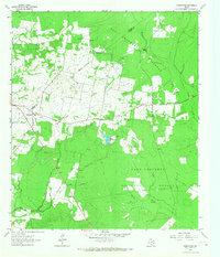
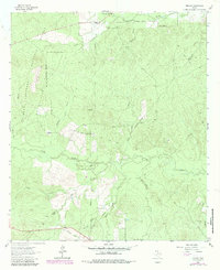
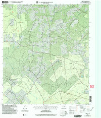
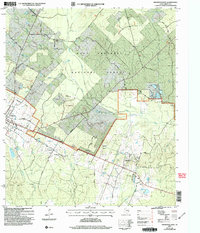
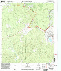
Historical Maps of Trinity County Through Time
28 maps found
1950 Centralia
Trinity County, TX
1951 Centralia
Trinity County, TX
1951 Wells SW
Trinity County, TX
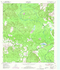
1960 Trinity East
Trinity County, TX
1962 Glendale
Trinity County, TX
1963 Apple Springs
Trinity County, TX
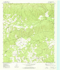
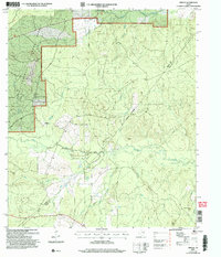
1963 Crecy
Trinity County, TX
1963 Groveton East
Trinity County, TX
1963 Groveton West
Trinity County, TX
1963 Pennington
Trinity County, TX
1963 Trevat
Trinity County, TX
2004 Centralia
Trinity County, TX
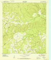
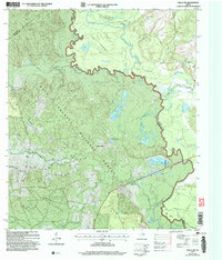
2004 Crecy
Trinity County, TX
2004 Groveton East
Trinity County, TX
2004 Groveton West
Trinity County, TX
2004 Trevat
Trinity County, TX
2004 Wells SW
Trinity County, TX
2022 Apple Springs
Trinity County, TX
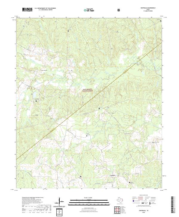
2022 Centralia
Trinity County, TX
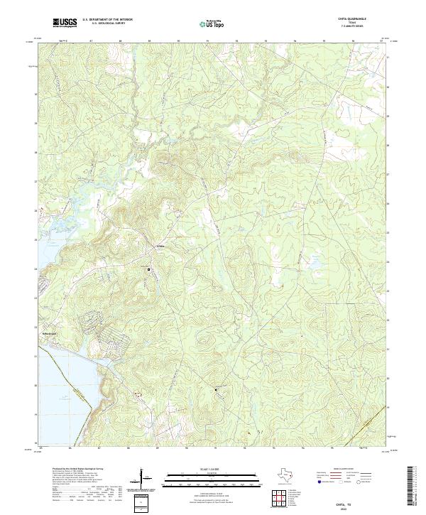
2022 Chita
Trinity County, TX
2022 Crecy
Trinity County, TX
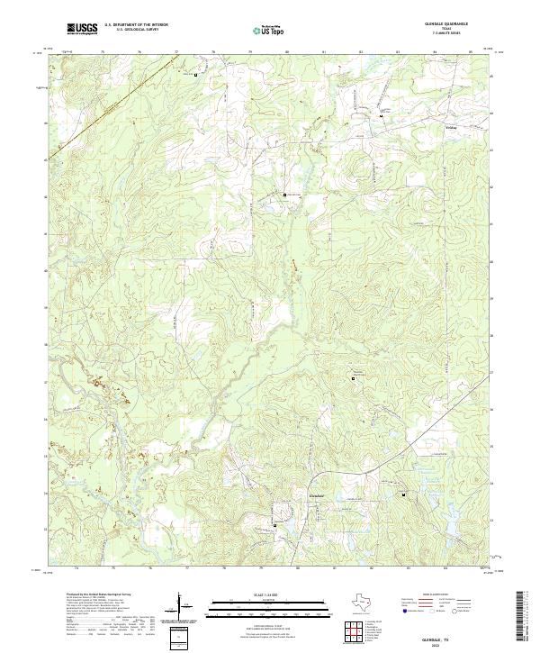
2022 Glendale
Trinity County, TX
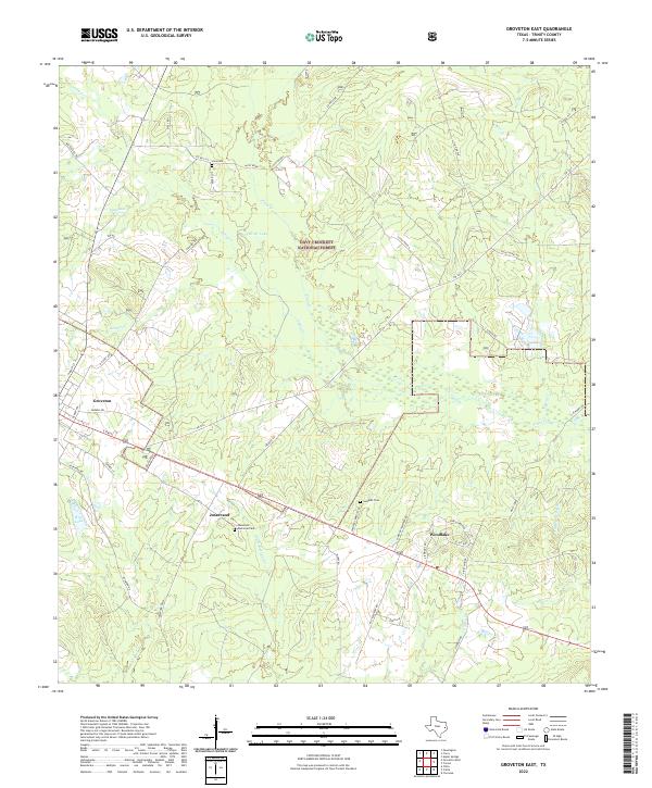
2022 Groveton East
Trinity County, TX
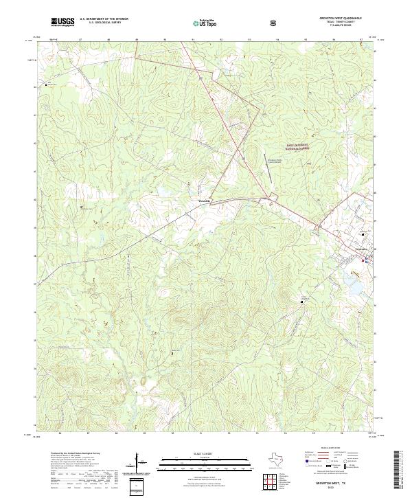
2022 Groveton West
Trinity County, TX
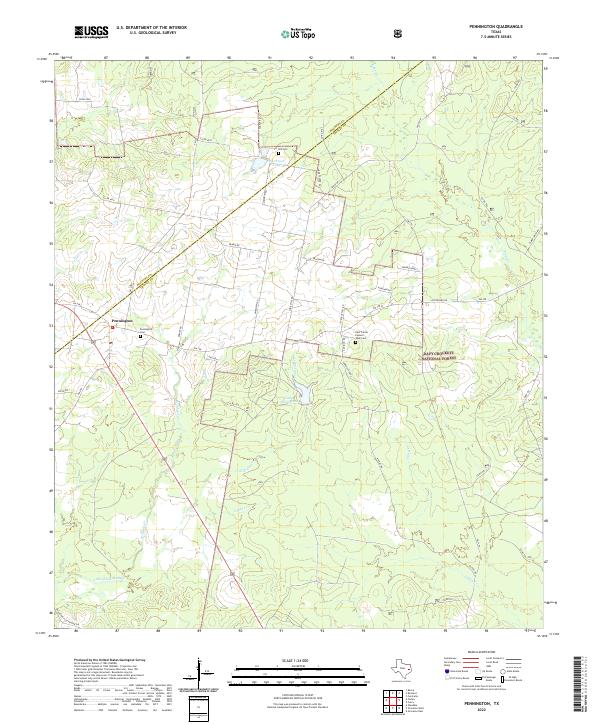
2022 Pennington
Trinity County, TX
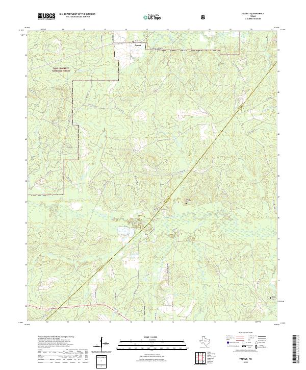
2022 Trevat
Trinity County, TX
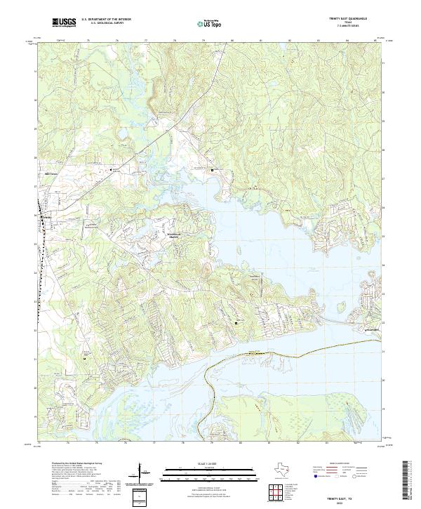
2022 Trinity East
Trinity County, TX
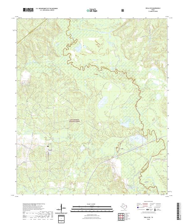
2022 Wells SW
Trinity County, TX