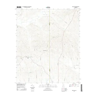
2014 Map of Creek Stand
USGS Topo · Published 2014About this map
Boromville and Creek Stand anchor this rural landscape along the border of Macon and Russell counties. The terrain is defined by a dense network of tributaries including Opintlocco Cr, Hurtsboro Cr, and High Log Cr, which carve through the elevations near Pace Hill. For those tracing local heritage, the map identifies specific points of assembly and memory such as the Borom Cem and Creek Stand Cem. The road system, comprised of routes like Al-51, Boromville Rd, and Battle Rd, illustrates the persistence of historical transit corridors that connect these small Alabama settlements. The survey reflects a quiet agricultural and forested character, where life follows the natural contours of the creeks and branches.
Find a feature on this map
42 named features on this map. Tap any name to fly to it.
Don’t see what you’re looking for? This feature index may not catch every label — zoom into the map to look around manually.
Map Details
Editions of this 2014 Creek Stand Map
This is the sole edition of this map. No revisions or reprints were ever made.
Other maps of this area

1955 · Phenix City
USGS Topo · 1:250,000

1957 · Phenix City
USGS Topo · 1:250,000

1958 · Phenix City
USGS Topo · 1:250,000

1971 · Little Texas
USGS Topo · 1:24,000
1971 · Marvyn
USGS Topo · 1:24,000
1971 · Society Hill
USGS Topo · 1:24,000
1973 · Hatchechubbee
USGS Topo · 1:24,000
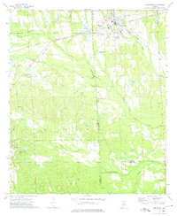
1973 · Hurtsboro
USGS Topo · 1:24,000
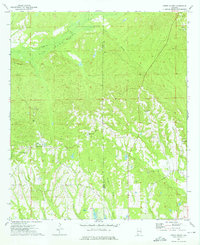
1973 · Creek Stand
USGS Topo · 1:24,000
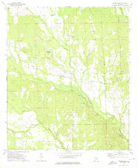
1973 · Rutherford
USGS Topo · 1:24,000