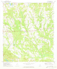
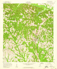
1971 Map of Marvyn
USGS Topo · Published 1973About this map
Marvyn serves as a central point in this rural landscape during the early 1970s, situated where the borders of Lee and Russell counties meet. The area is defined by a dense network of spiritual and educational landmarks, including Rising Star Ch, St Alice Ch, and the Wills Valley Sch. The settlement patterns follow the winding paths of several waterways, most notably Watula Creek and Uchee Creek, which drain the varied topography.
Find a feature on this map
30 named features on this map. Tap any name to fly to it.
Don’t see what you’re looking for? This feature index may not catch every label — zoom into the map to look around manually.
Map Details
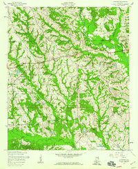
Editions of this 1971 Marvyn Map
2 editions found

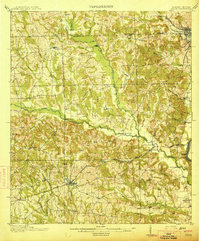
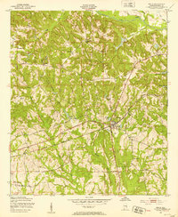
Other maps of this area

1907 · Opelika
USGS Topo · 1:125,000

1909 · Opelika
USGS Topo · 1:125,000
1914 · Seale
USGS Topo · 1:62,500
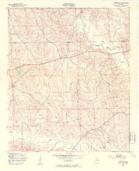
1950 · Crawford
USGS Topo · 1:24,000
1950 · Seale
USGS Topo · 1:24,000

1950 · Seale
USGS Topo · 1:62,500
1955 · Seale
USGS Topo · 1:24,000
1955 · Crawford
USGS Topo · 1:24,000

1955 · Seale
USGS Topo · 1:62,500

1955 · Phenix City
USGS Topo · 1:250,000