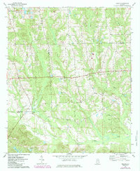
1971 Map of Marvyn
USGS Topo · Published 1985About this map
Watoola Creek and Snake Creek wind through the borderlands of Lee and Russell Counties in this 1971 survey. The landscape is dotted with small rural communities and crossroad settlements such as Marvyn, Uhland, and Whatley Cross Road. This area of eastern Alabama reflects a deeply rooted community structure, evidenced by the numerous small churches including Rising Star Ch, St Alice Ch, and Union Grove Ch. Genealogists may find interest in local burial sites such as Canaan Cem and Jenkins Cem, often located near their respective congregations.
Find a feature on this map
27 named features on this map. Tap any name to fly to it.
Don’t see what you’re looking for? This feature index may not catch every label — zoom into the map to look around manually.
Map Details
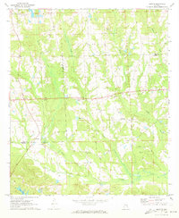
Editions of this 1971 Marvyn Map
2 editions found
Other maps of this area

1907 · Opelika
USGS Topo · 1:125,000

1909 · Opelika
USGS Topo · 1:125,000

1914 · Seale
USGS Topo · 1:62,500

1950 · Crawford
USGS Topo · 1:24,000

1950 · Seale
USGS Topo · 1:24,000

1950 · Seale
USGS Topo · 1:62,500

1955 · Seale
USGS Topo · 1:24,000

1955 · Crawford
USGS Topo · 1:24,000

1955 · Seale
USGS Topo · 1:62,500

1955 · Phenix City
USGS Topo · 1:250,000