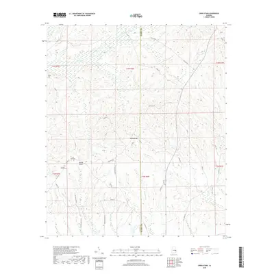
2018 Map of Creek Stand
USGS Topo · Published 2018About this map
Boromville and the nearby settlement of Creek Stand anchor this rural landscape in eastern Alabama, situated along the county line between Macon and Russell counties. The area is defined by a network of slow-moving waterways and wetlands, most notably the expansive Big Swamp and the winding course of Opintlocco Cr in the northern reaches. The terrain rises slightly at Pace Hill in the west, while numerous branches like Strawberry Br and Peters Br drain the timberland and agricultural plots.
Find a feature on this map
45 named features on this map. Tap any name to fly to it.
Don’t see what you’re looking for? This feature index may not catch every label — zoom into the map to look around manually.
Map Details
Editions of this 2018 Creek Stand Map
This is the sole edition of this map. No revisions or reprints were ever made.
Other maps of this area

1955 · Phenix City
USGS Topo · 1:250,000

1957 · Phenix City
USGS Topo · 1:250,000

1958 · Phenix City
USGS Topo · 1:250,000

1971 · Little Texas
USGS Topo · 1:24,000
1971 · Marvyn
USGS Topo · 1:24,000
1971 · Society Hill
USGS Topo · 1:24,000
1973 · Hatchechubbee
USGS Topo · 1:24,000
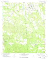
1973 · Hurtsboro
USGS Topo · 1:24,000
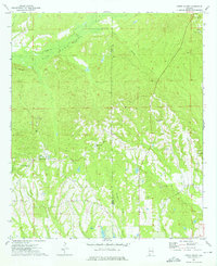
1973 · Creek Stand
USGS Topo · 1:24,000
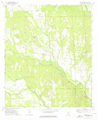
1973 · Rutherford
USGS Topo · 1:24,000