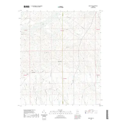
2020 Map of Creek Stand
USGS Topo · Published 2020About this map
Creek Stand and Boromville anchor this rural landscape along the boundary of Macon and Russell Counties. The terrain is defined by a dense network of tributaries including Opintlocco Cr and the expansive Big Swamp to the north, while the southern reaches are drained by Reeder Br and Hurtshoro Cr. The settlement pattern follows the ridgelines and local routes like Boromville Rd and Old Creek Stand Rd, reflecting a traditional agricultural layout. Genealogists will find the locations of the Creek Stand Cem and Borom Cem particularly useful for identifying family sites in these small communities. To the northwest, Pace Hill rises above the surrounding bottomlands, offering a clear view of the complex hydrography that has shaped land use in this part of Alabama.
Find a feature on this map
45 named features on this map. Tap any name to fly to it.
Don’t see what you’re looking for? This feature index may not catch every label — zoom into the map to look around manually.
Map Details
Editions of this 2020 Creek Stand Map
This is the sole edition of this map. No revisions or reprints were ever made.
Other maps of this area

1955 · Phenix City
USGS Topo · 1:250,000

1957 · Phenix City
USGS Topo · 1:250,000

1958 · Phenix City
USGS Topo · 1:250,000

1971 · Little Texas
USGS Topo · 1:24,000
1971 · Marvyn
USGS Topo · 1:24,000
1971 · Society Hill
USGS Topo · 1:24,000
1973 · Hatchechubbee
USGS Topo · 1:24,000
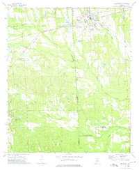
1973 · Hurtsboro
USGS Topo · 1:24,000
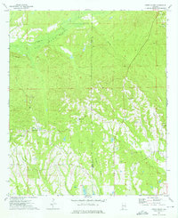
1973 · Creek Stand
USGS Topo · 1:24,000
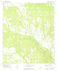
1973 · Rutherford
USGS Topo · 1:24,000